Large airport · Germany
Stuttgart AirportEDDS
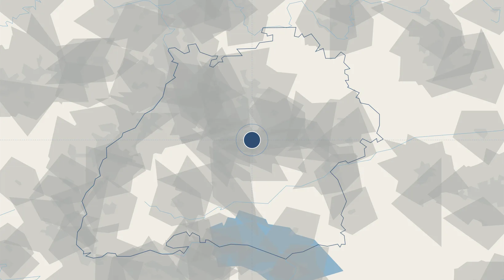
48.6899°, 9.2220°
10,974 ft
Longest runway
1
Runways
1,276 ft
Elevation
Runway & Layout

Radio Frequencies
ATIS
126.13 MHz
Stuttgart ATIS
TWR
118.805 MHz
Stuttgart Tower / Turm
TWR
119.065 MHz
Stuttgart Tower / Turm
GND
118.605 MHz
Stuttgart Ground / Rollkontrolle
CLD
121.915 MHz
Stuttgart Delivery
APP
119.2 MHz
Langen Radar Approach
AFIS
128.95 MHz
Langen Information
DIR
119.85 MHz
Stuttgart Director
MISC
121.63 MHz
DEICING
RDR
119.2 MHz
LANGEN RADAR
RMP
121.7 MHz
APRON
VOLMET
135.78 MHz
Frankfurt 2 VOLMET
Navaids
LBU VOR-DME Luburg 109.20 MHz
SG NDB Stuttgart 306 kHz
SGD DME Stuttgart 115.45 MHz
SY NDB Stuttgart 384 kHz
Runways · 1
| Runway | Dimensions | Surface | True heading | Lit |
|---|---|---|---|---|
| 07/25 | 10,974 × 148ft | Concrete | 072° | ✓ |
Airport Specifications
IATA code
STR
ICAO code
EDDS
Airport class
Large airport
Scheduled service
Yes
Runway surface
Concrete
Served city
Stuttgart
Location
Nearby Logistics Neighbours
Airports
- 1Adolf Würth Airport63 km
- 2Mengen-Hohentengen Airfield72 km
- 3Laupheim Air Base73 km
- 4Karlsruhe Baden-Baden Airport84 km
- 5Niederstetten Army Air Base95 km
Cities
- 1Neckartailfingen8 km
- 2Stuttgart10 km
- 3Weil im Dorf11 km
- 4Oberboihingen12 km
- 5Grossbettlingen12 km
Ports
- 1Bruxelles425 km
- 2Porto Di Lido-Venezia438 km
- 3Nogaro441 km
- 4Antwerpen445 km
- 5Porto Di Chioggia450 km
Trade Zones
- 1ZFU Neuhof109 km
- 2ZFU Hautepierre113 km
- 3ZFU Mulhouse175 km
- 4ZFU La Cité Behren-lès-Forbach176 km
- 5ZFU Belfort214 km
DatabookThe Record of Consolidated Knowledge
Germany beyond logistics?