Economic Revitalization Project · France

ZFU La Cité Behren-lès-Forbach Active
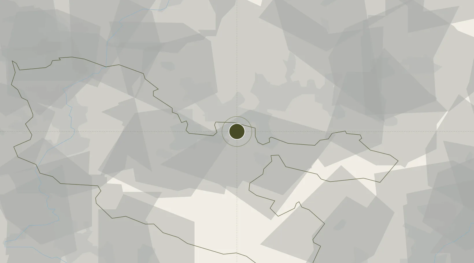
49.1671°, 6.9276°
110 ha
Zone area
263.9 km
Nearest port
14.3 km
Nearest airport

Gateway access

Nearest neighbours — logibook spatial index (haversine) over the source coordinates

Zone profile

Zone type
Economic Revitalization Project
Open Zone Map
Region
Moselle
Open Zone Map
Status
Active
Open Zone Map
Management
Public
Open Zone Map
Operator
Ville de Behren-lès-Forbach
Open Zone Map
Legal framework
Décret no 65-939 du 8 novembre 1965, Décret du 9 Octobre 2008
Open Zone Map

Location

Location of ozm-1953
Natural Earth 10m (public domain) · Moselle · ozm-1953 · 49.17, 6.93GoogleOSMYandex

Nearby Logistics Neighbours

Ports
  1. 1Bruxelles264 km
  2. 2Antwerpen290 km
  3. 3Ghent311 km
  4. 4Hansweert328 km
  5. 5Terneuzen328 km
Nearest neighbours — logibook spatial index (haversine) over the source coordinates
Airports
  1. 1Saarbrücken Airport14 km
  2. 2Phalsbourg-Bourscheid Air Base49 km
  3. 3Metz-Nancy-Lorraine Airport53 km
  4. 4Ramstein Air Base57 km
  5. 5Luxembourg-Findel International Airport73 km
Nearest neighbours — logibook spatial index (haversine) over the source coordinates
Cities
  1. 1Behren-lès-Forbach2 km
  2. 2Forbach3 km
  3. 3Stiring-Wendel4 km
  4. 4Morsbach4 km
  5. 5Grossrosseln8 km
Nearest neighbours — logibook spatial index (haversine) over the source coordinates
Trade Zones
  1. 1ZFU Metz56 km
  2. 2ZFU Woippy-Metz57 km
  3. 3Luxembourg Free Port73 km
  4. 4ZFU Maxéville, Laxou, et de Nancy76 km
  5. 5ZFU Hautepierre85 km
Nearest neighbours — logibook spatial index (haversine) over the source coordinates
DatabookThe Record of Consolidated Knowledge
France beyond logistics?
Browse databook

All Sources

Trade ZonesOpen Zone Map
CC BY
Portsthe NGA World Port Index
Public domain (US gov)
AirportsOurAirports
Public domain
LocationsUN/LOCODE
UN/LOCODE — free
← France trade zones