Transport Functions
Multimodal
Hub Profile
Place type
Populated place
Region
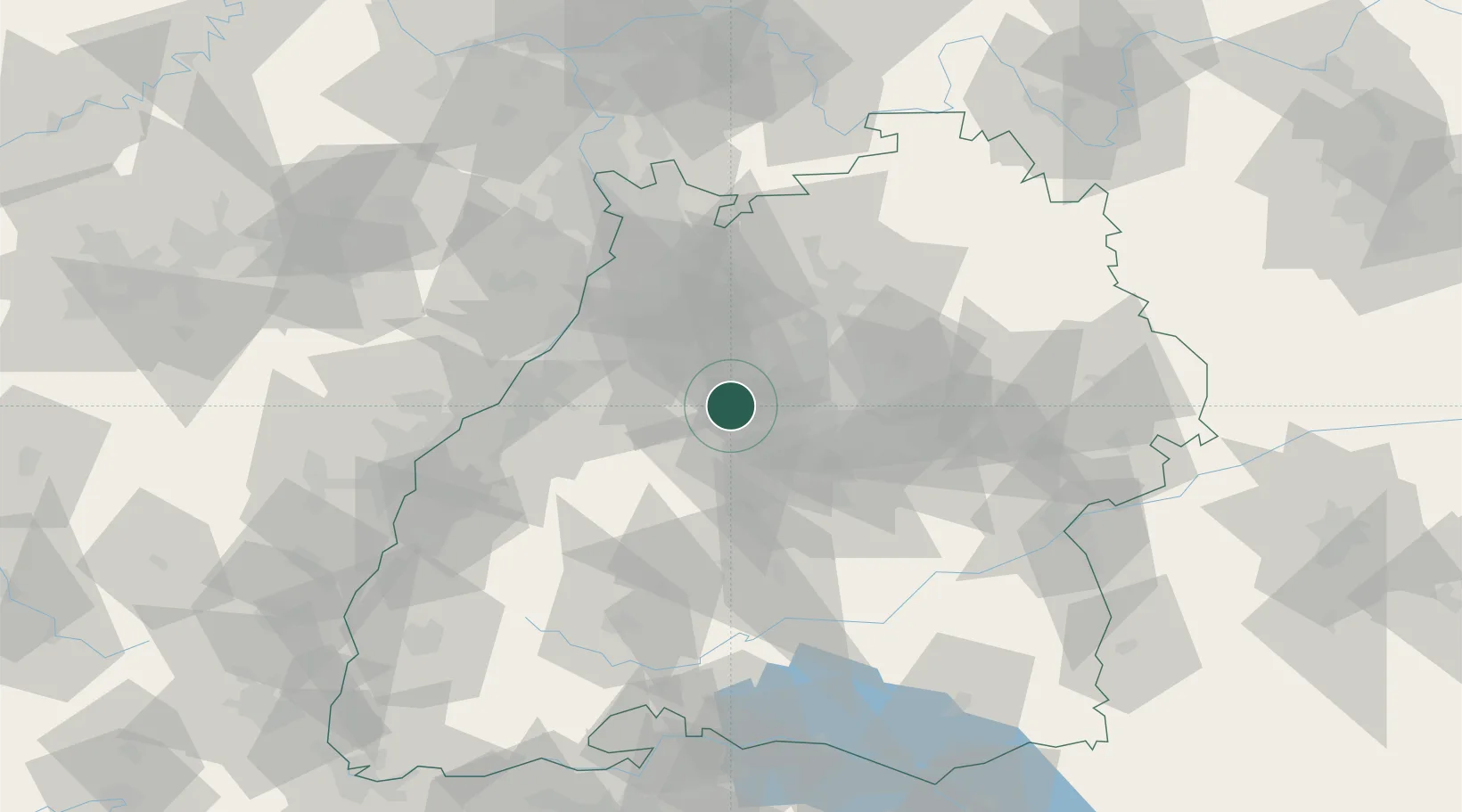
Baden-Wurttemberg
Population
5,234
Time zone
Europe/Berlin
Elevation
406 m
Location
Nearby Logistics Neighbours
Cities
- 1Heimerdingen9 km
- 2Bad Liebenzell10 km
- 3Ehningen16 km
- 4Sindelfingen16 km
- 5Gärtringen17 km
Ports
- 1Bruxelles397 km
- 2Antwerpen417 km
- 3Dordrecht450 km
- 4Hansweert455 km
- 5Porto Di Lido-Venezia463 km
Airports
- 1Stuttgart Airport29 km
- 2Karlsruhe Baden-Baden Airport58 km
- 3Adolf Würth Airport76 km
- 4Mannheim-City Airport79 km
- 5Lahr Airport90 km
Trade Zones
- 1ZFU Neuhof86 km
- 2ZFU Hautepierre89 km
- 3ZFU La Cité Behren-lès-Forbach147 km
- 4ZFU Mulhouse163 km
- 5ZFU Maxéville, Laxou, et de Nancy199 km
DatabookThe Record of Consolidated Knowledge
Germany beyond logistics?