Economic Revitalization Project · France
ZFU Mulhouse Active
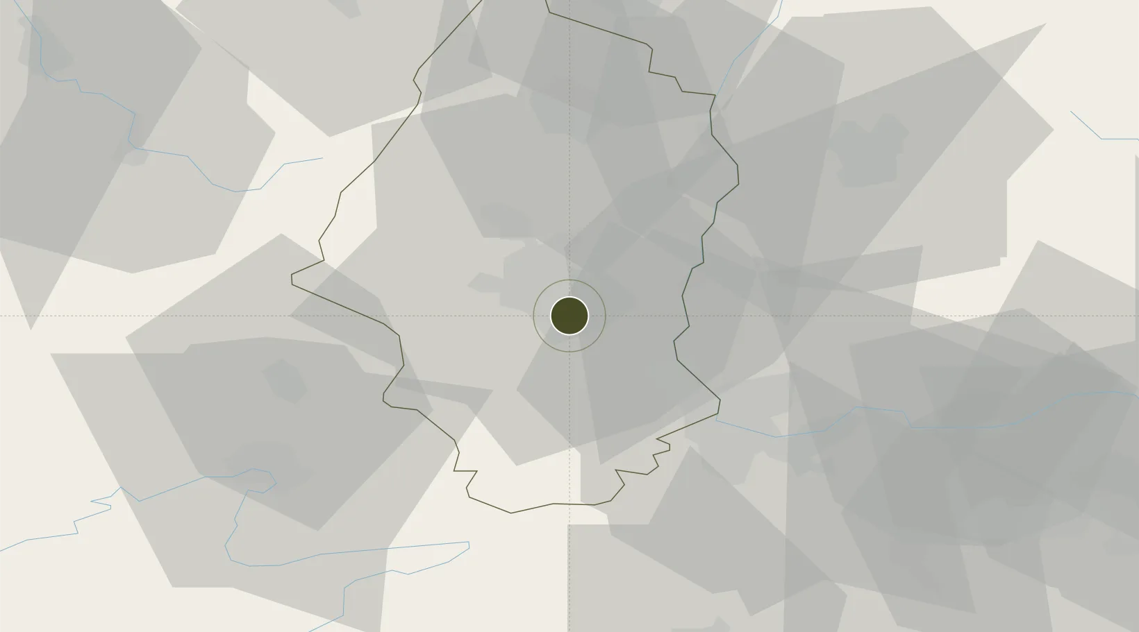
47.7493°, 7.3365°
141 ha
Zone area
392.1 km
Nearest port
21.5 km
Nearest airport
Gateway access
Zone profile
Zone type
Economic Revitalization Project
Region
Haute-Rhin
Status
Active
Management
Public
Operator
Ville de Mulhouse
Legal framework
Décret no 65-939 du 8 novembre 1965, Décret du 9 Octobre 2008
Location
Nearby Logistics Neighbours
Ports
- 1Savona392 km
- 2Genova392 km
- 3Rada Di Vado397 km
- 4Bruxelles409 km
- 5Chiavari - Lavagna413 km
Airports
Cities
- 1Mulhouse0 km
- 2Mulhouse Nord2 km
- 3Pfastatt5 km
- 4Morschwiller-le-Bas5 km
- 5Richwiller6 km
Trade Zones
- 1ZFU Belfort41 km
- 2ZFU Montbéliard49 km
- 3ZFU Neuhof94 km
- 4ZFU Hautepierre98 km
- 5ZFU Besancon115 km
DatabookThe Record of Consolidated Knowledge
France beyond logistics?