Medium airport · Germany
Mannheim-City AirportEDFM
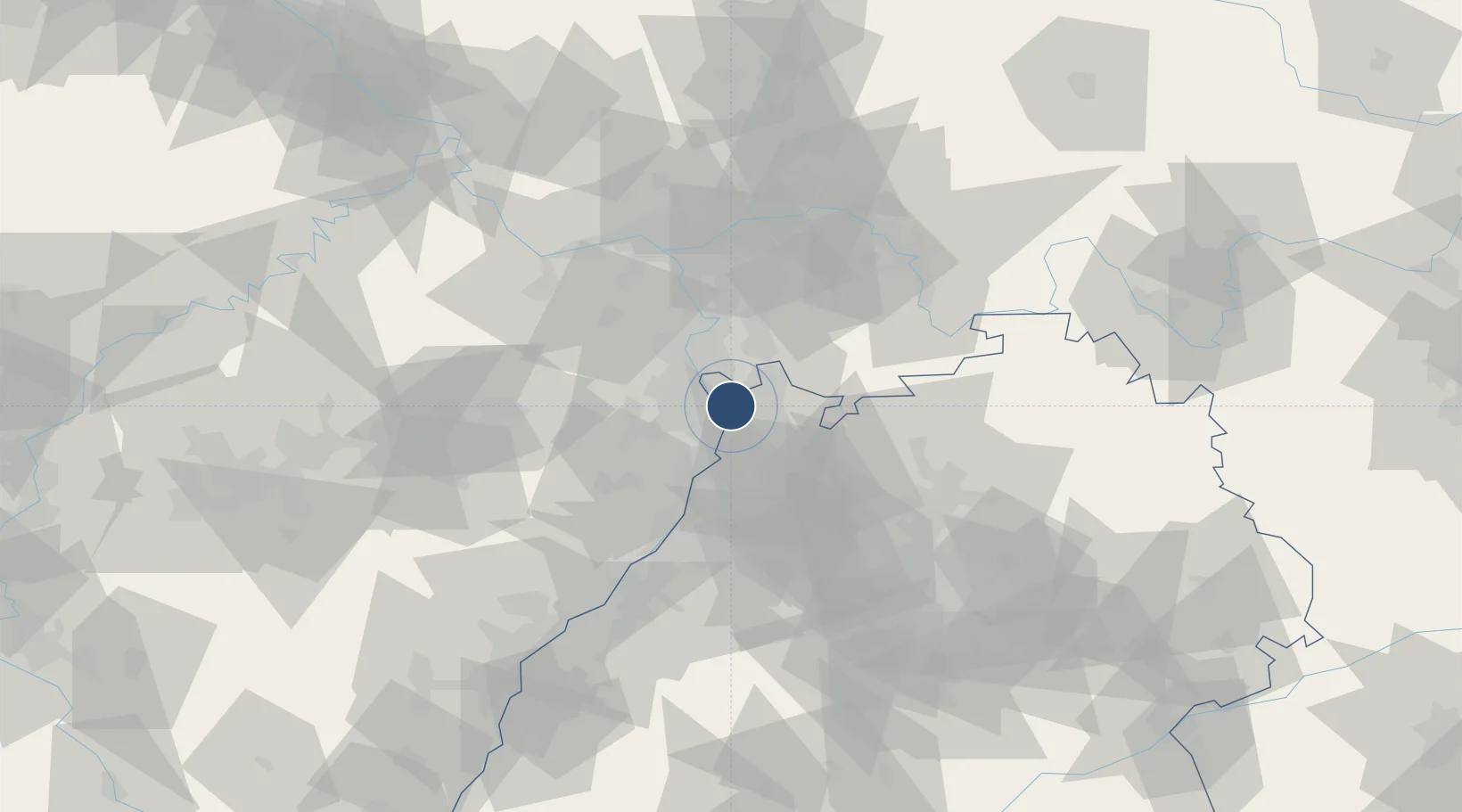
49.4731°, 8.5142°
3,497 ft
Longest runway
2
Runways
308 ft
Elevation
Runway & Layout

Radio Frequencies
ATIS
132.415 MHz
Mannheim ATIS
TWR
129.78 MHz
Mannheim Tower / Turm
AFIS
119.15 MHz
Langen Information
AFIS
128.95 MHz
Langen Information
INFO
129.78 MHz
Mannheim Information
Navaids
MND DME Mannheim 113.55 MHz
Runways · 2
| Runway | Dimensions | Surface | True heading | Lit |
|---|---|---|---|---|
| 09/27 | 3,497 × 82ft | Asphalt | 093° | ✓ |
| 09L/27R | 2,297 × 98ft | Grass | 092° | — |
Airport Specifications
IATA code
MHG
ICAO code
EDFM
Airport class
Medium airport
Scheduled service
Yes
Runway surface
Asphalt
Served city
Mannheim
Location
Nearby Logistics Neighbours
Airports
- 1Frankfurt-Egelsbach Airport55 km
- 2Mainz-Finthen Airfield61 km
- 3Frankfurt Main Airport62 km
- 4Wiesbaden Army Airfield66 km
- 5Ramstein Air Base66 km
Cities
- 1Neckarau3 km
- 2Mannheim4 km
- 3Edingen8 km
- 4Viernheim8 km
- 5Edingen-Neckarhausen8 km
Trade Zones
- 1ZFU Hautepierre115 km
- 2ZFU Neuhof117 km
- 3ZFU La Cité Behren-lès-Forbach120 km
- 4Luxembourg Free Port166 km
- 5ZFU Woippy-Metz175 km
DatabookThe Record of Consolidated Knowledge
Germany beyond logistics?