Economic Revitalization Project · France

ZFU Maxéville, Laxou, et de Nancy Active
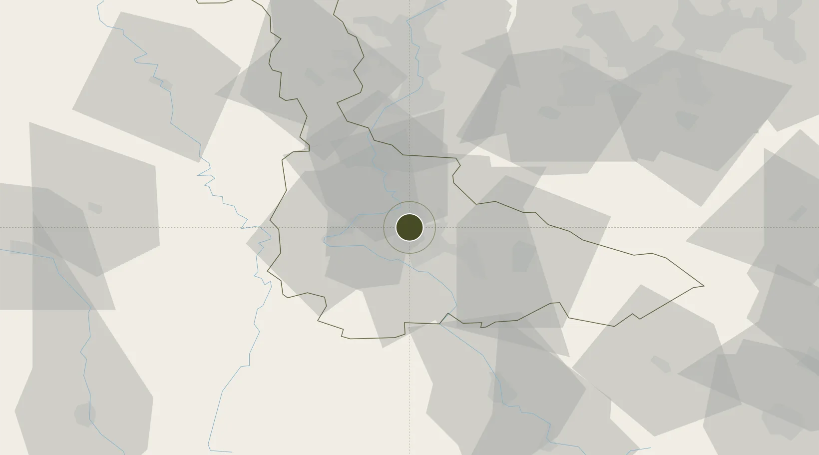
48.7072°, 6.1631°
229 ha
Zone area
273.1 km
Nearest port
5.2 km
Nearest airport

Gateway access

Nearest neighbours — logibook spatial index (haversine) over the source coordinates

Zone profile

Zone type
Economic Revitalization Project
Open Zone Map
Region
Meurthe-et-Moselle
Open Zone Map
Status
Active
Open Zone Map
Management
Public
Open Zone Map
Operator
Mairie de Maxéville
Open Zone Map
Legal framework
Décret no 65-939 du 8 novembre 1965, Décret du 9 Octobre 2008
Open Zone Map

Location

Location of ozm-2002
Natural Earth 10m (public domain) · Meurthe-et-Moselle · ozm-2002 · 48.71, 6.16GoogleOSMYandex

Nearby Logistics Neighbours

Ports
  1. 1Bruxelles273 km
  2. 2Antwerpen306 km
  3. 3Ghent315 km
  4. 4Terneuzen338 km
  5. 5Hansweert342 km
Nearest neighbours — logibook spatial index (haversine) over the source coordinates
Airports
  1. 1Nancy-Essey Airport5 km
  2. 2Nancy-Ochey (BA 133) Air Base21 km
  3. 3Metz-Nancy-Lorraine Airport31 km
  4. 4Épinal Mirecourt Airport43 km
  5. 5Lieutenant Étienne Mantoux Air Base68 km
Nearest neighbours — logibook spatial index (haversine) over the source coordinates
Cities
  1. 1Nancy2 km
  2. 2Champigneulles3 km
  3. 3Eulmont5 km
  4. 4Lay-Saint-Christophe6 km
  5. 5Houdemont7 km
Nearest neighbours — logibook spatial index (haversine) over the source coordinates
Trade Zones
  1. 1ZFU Metz44 km
  2. 2ZFU Woippy-Metz49 km
  3. 3ZFU La Cité Behren-lès-Forbach76 km
  4. 4ZFU Saint-Dizier95 km
  5. 5Luxembourg Free Port104 km
Nearest neighbours — logibook spatial index (haversine) over the source coordinates
DatabookThe Record of Consolidated Knowledge
France beyond logistics?
Browse databook

All Sources

Trade ZonesOpen Zone Map
CC BY
Portsthe NGA World Port Index
Public domain (US gov)
AirportsOurAirports
Public domain
LocationsUN/LOCODE
UN/LOCODE — free
← France trade zones