Seaport · Italy
Porto Di Lido-VeneziaITVCE
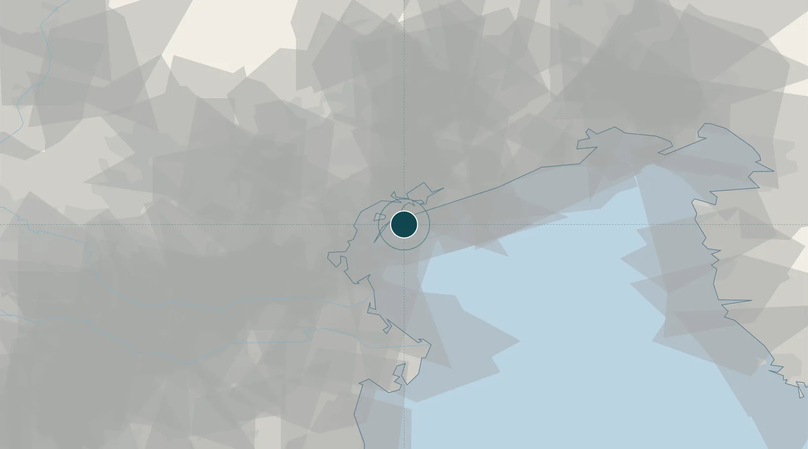
45.4167°, 12.4333°
11.0 m
Channel depth
2
Container terminals
115.4
Port liner connectivity
Channel & Berth Profile
Pilotage, Tugs & Services
Pilotage compulsoryYES
Pilotage availableYES
Pilotage advisableYES
Tug assistanceYES
Salvage tugsYES
Shore powerYES
Potable waterYES
Diesel bunkersYES
MedicalYES
Garbage disposalYES
Facilities & Capabilities
Container—
Ro-Ro—
Liquid bulk—
Dry bulk—
Oil terminal—
Break bulk—
Dry dockNO
RepairsNO
BunkeringYES
Rail linkYES
Dangerous cargo—
ISPS security—
Harbour Specifications
Harbour size
Large
Harbour type
Coastal (Breakwater)
Shelter
Good
Water body
Adriatic Sea; Mediterranean Sea; North Atlantic Ocean
Tidal range
1 m
Pilotage
Yes
Liner Connectivity
115.4
PLSCI
Port Liner Shipping Connectivity Index for Porto Di Lido-Venezia, as published by UNCTAD for the latest available quarter. Higher values indicate stronger scheduled liner-shipping integration.
Shown relative to the highest per-port PLSCI in the dataset (1,657.9).
Location
Container Terminals · 2
TERMINAL INTERMODALE VENEZIA
TIV
VECON - CONTAINER TERMINAL
VECON
Nearby Logistics Neighbours
Ports
- 1Porto Di Chioggia23 km
- 2Nogaro69 km
- 3Grado74 km
- 4Porto Garibaldi84 km
- 5Umag85 km
Cities
- 1Murano8 km
- 2Porto Marghera15 km
- 3Fusina16 km
- 4Carpenedo17 km
- 5Marghera17 km
Airports
- 1Venice Marco Polo Airport12 km
- 2Treviso Airport32 km
- 3Istrana Air Base40 km
- 4Padova Gino Allegri Airfield46 km
- 5Aviano Air Base70 km
Trade Zones
DatabookThe Record of Consolidated Knowledge
Italy beyond logistics?