Large airport · Germany
Karlsruhe Baden-Baden AirportEDSB
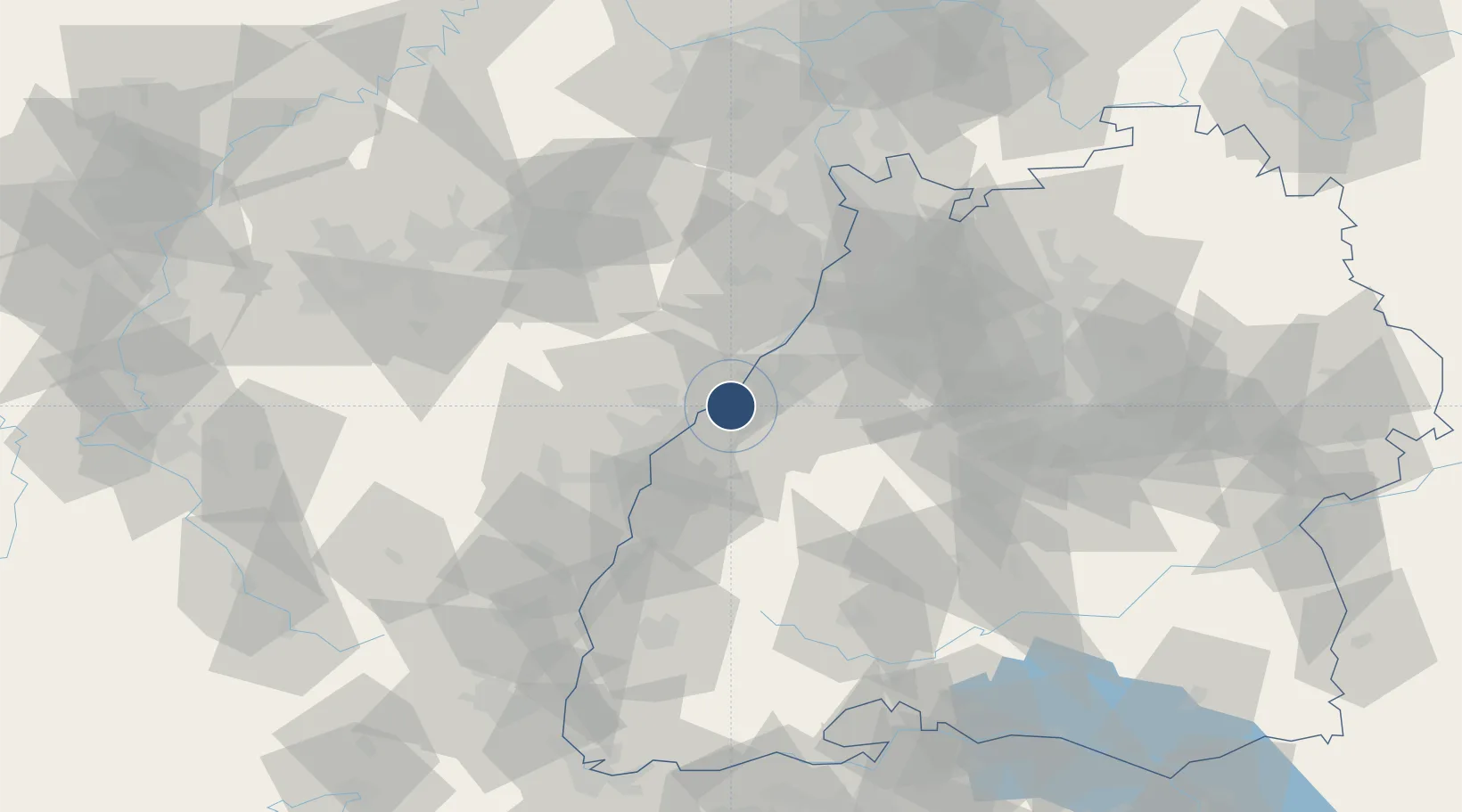
48.7794°, 8.0805°
9,787 ft
Longest runway
1
Runways
408 ft
Elevation
Runway & Layout

Radio Frequencies
ATIS
121.28 MHz
BADEN ATIS
TWR
134.105 MHz
Baden Tower / Turm
GND
121.83 MHz
Baden Ground / Rollkontrolle
APP
119.45 MHz
STRASSBOURG RADAR
AAS
124.1 MHz
REIMS INFO
AFIS
119.58 MHz
Strasbourg Info
INFO
128.95 MHz
Langen Information
Navaids
KBA NDB Karlsruhe Baden Baden 431 kHz
KBD DME Karlsruhe Baden Baden 115.80 MHz
Runways · 1
| Runway | Dimensions | Surface | True heading | Lit |
|---|---|---|---|---|
| 03/21 | 9,787 × 148ft | Asphalt | 032° | ✓ |
Airport Specifications
IATA code
FKB
ICAO code
EDSB
Airport class
Large airport
Scheduled service
Yes
Runway surface
Asphalt
Served city
Rheinmünster
Location
Nearby Logistics Neighbours
Airports
- 1Strasbourg Airport43 km
- 2Lahr Airport49 km
- 3Phalsbourg-Bourscheid Air Base65 km
- 4Ramstein Air Base81 km
- 5Mannheim-City Airport83 km
Cities
- 1Stollhofen5 km
- 2Sinzheim7 km
- 3Greffern/Rheinmünster7 km
- 4Rheinmünster7 km
- 5Rschwoog7 km
Trade Zones
- 1ZFU Hautepierre35 km
- 2ZFU Neuhof35 km
- 3ZFU La Cité Behren-lès-Forbach95 km
- 4ZFU Mulhouse127 km
- 5ZFU Maxéville, Laxou, et de Nancy141 km
DatabookThe Record of Consolidated Knowledge
Germany beyond logistics?