Transport Functions
Rail
Road
Hub Profile
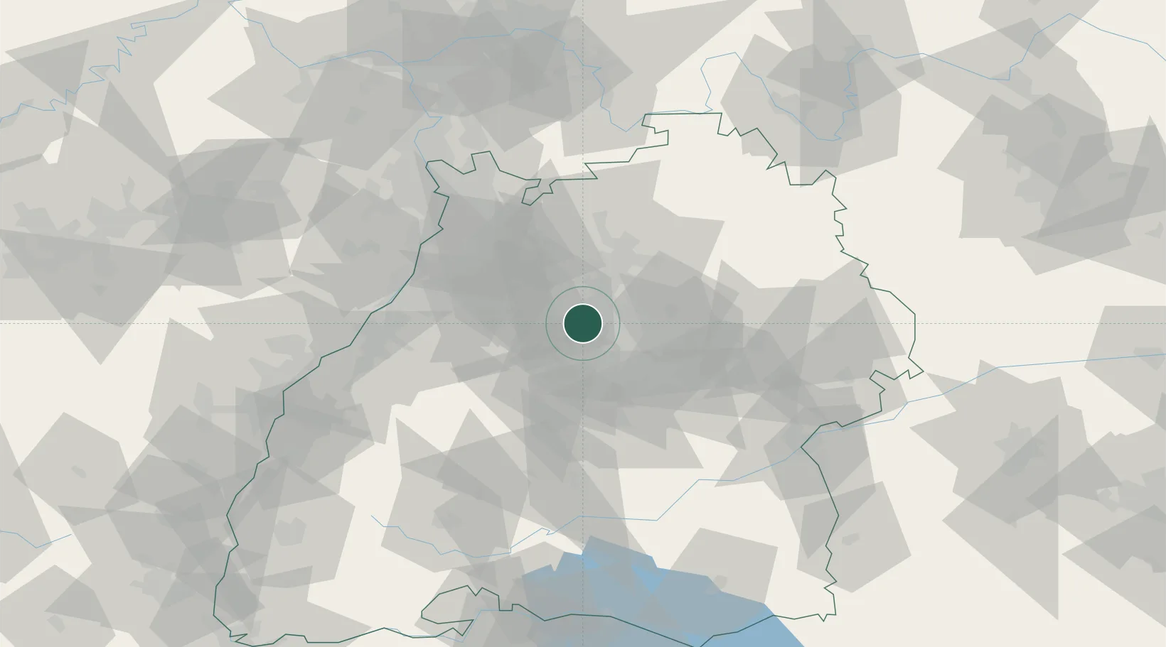
Place type
Populated place
Region
Baden-Wurttemberg
Population
14,414
Time zone
Europe/Berlin
Elevation
286 m
Location
Nearby Logistics Neighbours
Cities
- 1Möglingen5 km
- 2Sachsenheim6 km
- 3Kornwestheim9 km
- 4Heimerdingen9 km
- 5Freiberg am Neckar10 km
Ports
- 1Bruxelles402 km
- 2Antwerpen421 km
- 3Dordrecht451 km
- 4Hansweert459 km
- 5Porto Di Lido-Venezia463 km
Airports
- 1Stuttgart Airport26 km
- 2Adolf Würth Airport58 km
- 3Karlsruhe Baden-Baden Airport73 km
- 4Mannheim-City Airport75 km
- 5Niederstetten Army Air Base85 km
Trade Zones
- 1ZFU Neuhof104 km
- 2ZFU Hautepierre106 km
- 3ZFU La Cité Behren-lès-Forbach159 km
- 4ZFU Mulhouse181 km
- 5ZFU Metz213 km
DatabookThe Record of Consolidated Knowledge
Germany beyond logistics?