Economic Revitalization Project · France
ZFU Neuhof Active
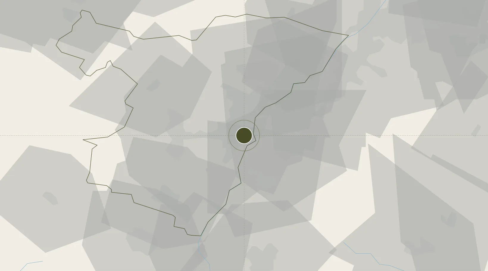
48.5404°, 7.7634°
182 ha
Zone area
356.5 km
Nearest port
10.0 km
Nearest airport
Gateway access
Zone profile
Zone type
Economic Revitalization Project
Region
Bas-Rhin
Status
Active
Management
Public
Operator
Ville de Strasbourg
Legal framework
Décret no 65-939 du 8 novembre 1965, Décret du 9 Octobre 2008
Location
Nearby Logistics Neighbours
Airports
- 1Strasbourg Airport10 km
- 2Lahr Airport20 km
- 3Karlsruhe Baden-Baden Airport35 km
- 4Phalsbourg-Bourscheid Air Base48 km
- 5Colmar Houssen airport56 km
Cities
- 1Strasbourg3 km
- 2Port-du-Rhin/Strasbourg4 km
- 3Cronenbourg5 km
- 4Kehl7 km
- 5Eckbolsheim8 km
Trade Zones
- 1ZFU Hautepierre8 km
- 2ZFU La Cité Behren-lès-Forbach93 km
- 3ZFU Mulhouse94 km
- 4ZFU Maxéville, Laxou, et de Nancy119 km
- 5ZFU Belfort122 km
DatabookThe Record of Consolidated Knowledge
France beyond logistics?