Medium airport · Germany

Mengen-Hohentengen AirfieldEDTM
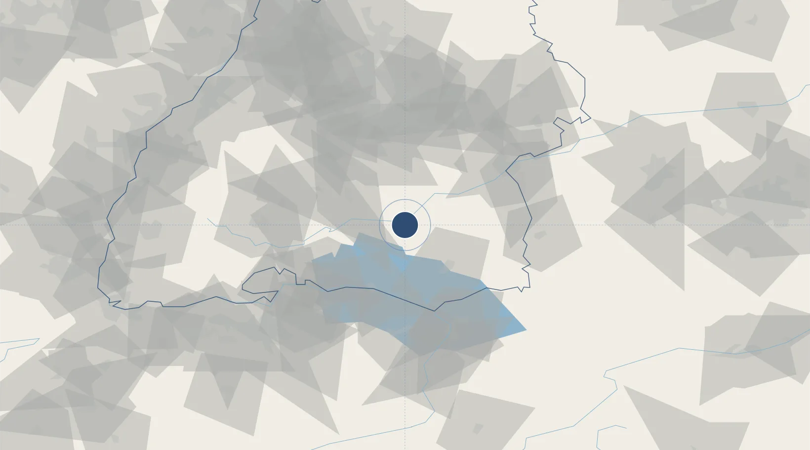
48.0539°, 9.3728°
5,138 ft
Longest runway
2
Runways
1,818 ft
Elevation

Runway & Layout

Mengen-Hohentengen Airfield runway & taxiway layout
Runway & taxiway layout — OpenStreetMap (ODbL) / OurAirports

Radio Frequencies

AFIS
124.7 MHz
Zürich Information
INFO
135.18 MHz
Mengen Information
OurAirports

Navaids

MEG NDB Mengen 401 kHz
OurAirports

Runways · 2

RunwayDimensions SurfaceTrue headingLit
07/25 5,138 × —ft Asphalt 079°
07L/25R 2,298 × 100ft grass 079°
OurAirports

Airport Specifications

ICAO code
EDTM
OurAirports
Airport class
Medium airport
OurAirports
Scheduled service
No
OurAirports
Runway surface
Asphalt
OurAirports
Served city
Mengen
OurAirports

Location

Location of EDTM
Natural Earth 10m (public domain) · Baden-Württemberg · EDTM · 48.05, 9.37GoogleOSMYandex

Nearby Logistics Neighbours

Airports
  1. 1Bodensee Airport Friedrichshafen44 km
  2. 2Laupheim Air Base44 km
  3. 3Donaueschingen-Villingen Airfield64 km
  4. 4Memmingen Allgau Airport65 km
  5. 5Sankt Gallen Altenrhein Airport65 km
Nearest neighbours — logibook spatial index (haversine) over the source coordinates
Cities
  1. 1Herbertingen5 km
  2. 2Sigmaringendorf8 km
  3. 3Ertingen9 km
  4. 4Bad Saulgau9 km
  5. 5Langenenslingen11 km
Nearest neighbours — logibook spatial index (haversine) over the source coordinates
Ports
  1. 1Porto Di Lido-Venezia375 km
  2. 2Nogaro385 km
  3. 3Porto Di Chioggia385 km
  4. 4Grado397 km
  5. 5Monfalcone405 km
Nearest neighbours — logibook spatial index (haversine) over the source coordinates
Trade Zones
  1. 1ZFU Neuhof131 km
  2. 2ZFU Hautepierre138 km
  3. 3ZFU Mulhouse156 km
  4. 4Livigno Free Trade Zone178 km
  5. 5ZFU Belfort197 km
Nearest neighbours — logibook spatial index (haversine) over the source coordinates
DatabookThe Record of Consolidated Knowledge
Germany beyond logistics?
Browse databook

All Sources

AirportsOurAirports
Public domain
Portsthe NGA World Port Index
Public domain (US gov)
LocationsUN/LOCODE
UN/LOCODE — free
Trade Zonesthe World Bank SEZ database
CC BY 4.0
Trade ZonesOpen Zone Map
CC BY
InfrastructureOpenStreetMap
ODbL 1.0
← Germany airports