Transport Functions
Rail
Road
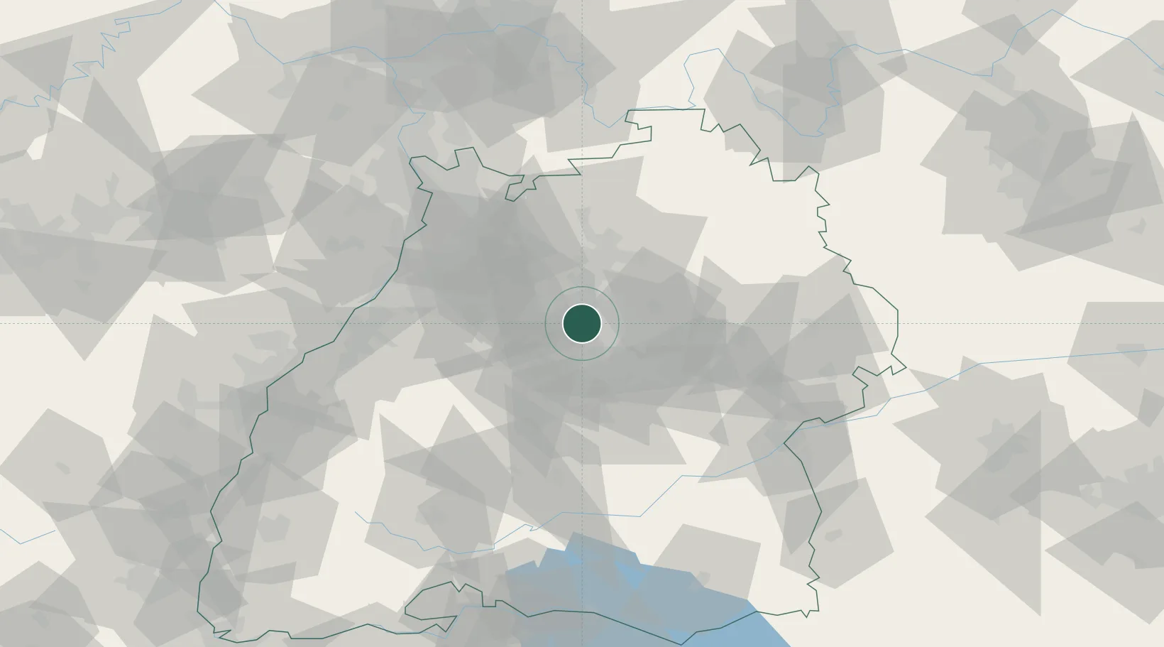
Hub Profile
Place type
Local administrative seat
Region
Baden-Wurttemberg
Population
10,405
Time zone
Europe/Berlin
Elevation
291 m
Location
Nearby Logistics Neighbours
Cities
- 1Kornwestheim4 km
- 2Markgröningen5 km
- 3Freiberg am Neckar7 km
- 4Beihingen7 km
- 5Sachsenheim9 km
Ports
- 1Bruxelles408 km
- 2Antwerpen426 km
- 3Dordrecht455 km
- 4Porto Di Lido-Venezia459 km
- 5Nogaro462 km
Airports
- 1Stuttgart Airport23 km
- 2Adolf Würth Airport54 km
- 3Karlsruhe Baden-Baden Airport78 km
- 4Mannheim-City Airport80 km
- 5Niederstetten Army Air Base82 km
Trade Zones
- 1ZFU Neuhof108 km
- 2ZFU Hautepierre110 km
- 3ZFU La Cité Behren-lès-Forbach164 km
- 4ZFU Mulhouse183 km
- 5ZFU Metz218 km
DatabookThe Record of Consolidated Knowledge
Germany beyond logistics?