Transport Functions
Rail
Road
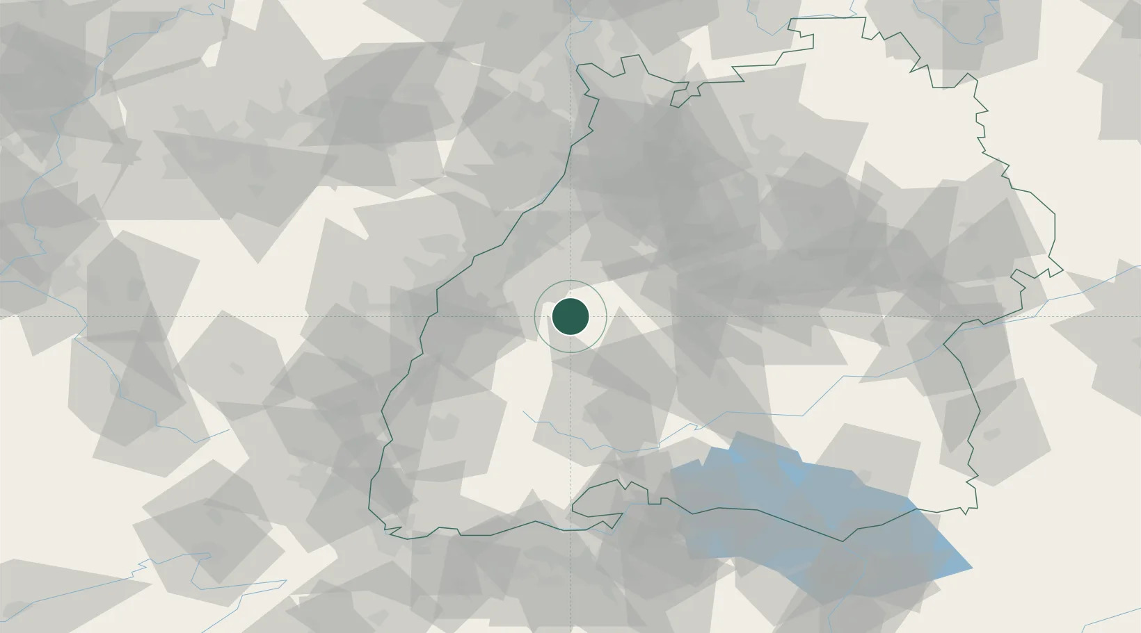
Hub Profile
Place type
Local administrative seat
Region
Baden-Wurttemberg
Population
16,248
Time zone
Europe/Berlin
Elevation
598 m
Location
Nearby Logistics Neighbours
Cities
- 1Odenwald10 km
- 2Grafenberg10 km
- 3Schapbach20 km
- 4Horb20 km
- 5Forbach21 km
Airports
- 1Karlsruhe Baden-Baden Airport38 km
- 2Lahr Airport44 km
- 3Strasbourg Airport56 km
- 4Donaueschingen-Villingen Airfield60 km
- 5Stuttgart Airport65 km
Trade Zones
- 1ZFU Neuhof46 km
- 2ZFU Hautepierre52 km
- 3ZFU Mulhouse114 km
- 4ZFU La Cité Behren-lès-Forbach130 km
- 5ZFU Belfort151 km
DatabookThe Record of Consolidated Knowledge
Germany beyond logistics?