Large airport · France
Strasbourg AirportLFST
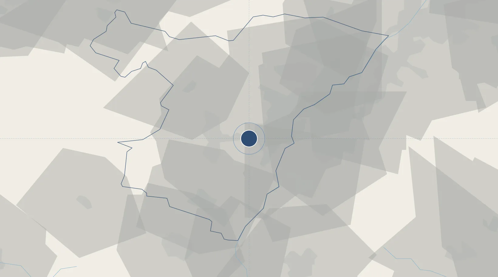
48.5383°, 7.6282°
7,874 ft
Longest runway
1
Runways
505 ft
Elevation
Runway & Layout

Radio Frequencies
ATIS
126.93 MHz
STRASBOURG ATIS
TWR
119.25 MHz
STRASBOURG TOUR
GND
121.805 MHz
STRASBOURG SOL
APP 1
120.41 MHz
STRASBOURG APPROCHE
APP 2
119.58 MHz
STRASBOURG APPROCHE
APP 3
133.1 MHz
STRASBOURG APPROCHE
FIS 1
120.41 MHz
STRASBOURG INFORMATION
FIS 2
119.58 MHz
STRASBOURG INFORMATION
Navaids
SAV VOR-DME Saverne 110.45 MHz
STR VOR-DME Strasbourg 115.60 MHz
Runways · 1
| Runway | Dimensions | Surface | True heading | Lit |
|---|---|---|---|---|
| 05/23 | 7,874 × 148ft | Asphalt | 049° | ✓ |
Airport Specifications
IATA code
SXB
ICAO code
LFST
Airport class
Large airport
Scheduled service
Yes
Runway surface
Asphalt
Served city
Strasbourg
Location
Nearby Logistics Neighbours
Airports
- 1Lahr Airport24 km
- 2Phalsbourg-Bourscheid Air Base40 km
- 3Karlsruhe Baden-Baden Airport43 km
- 4Colmar Houssen airport52 km
- 5Saarbrücken Airport84 km
Cities
- 1Geispolsheim3 km
- 2Duttlenheim5 km
- 3Wolfisheim6 km
- 4Eckbolsheim6 km
- 5Lipsheim7 km
Trade Zones
- 1ZFU Hautepierre8 km
- 2ZFU Neuhof10 km
- 3ZFU La Cité Behren-lès-Forbach87 km
- 4ZFU Mulhouse90 km
- 5ZFU Maxéville, Laxou, et de Nancy109 km
DatabookThe Record of Consolidated Knowledge
France beyond logistics?