Medium airport · Germany
Donaueschingen-Villingen AirfieldEDTD
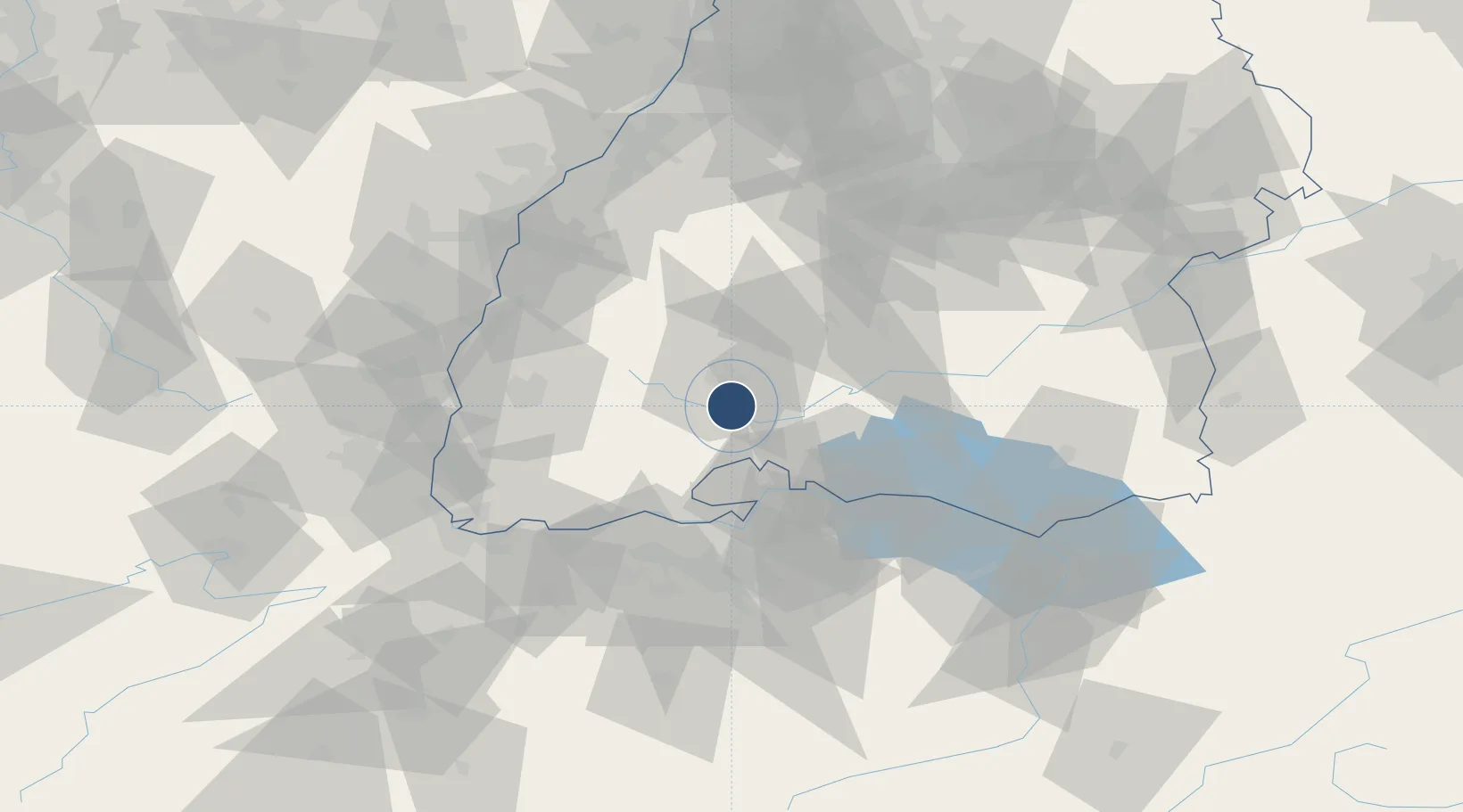
47.9733°, 8.5222°
4,232 ft
Longest runway
1
Runways
2,231 ft
Elevation
Runway & Layout

Radio Frequencies
AFIS
120.7 MHz
ZURICH INFORMATION
FIS
126.69 MHz
Donaueschingen Information
Navaids
DON DME Donaueschingen 110.55 MHz
DVI NDB Donaueschingen 490 kHz
Runways · 1
| Runway | Dimensions | Surface | True heading | Lit |
|---|---|---|---|---|
| 18/36 | 4,232 × 98ft | Asphalt | 178° | ✓ |
Airport Specifications
ICAO code
EDTD
Airport class
Medium airport
Scheduled service
No
Runway surface
Asphalt
Served city
Donaueschingen
Location
Nearby Logistics Neighbours
Airports
- 1Zürich Airport57 km
- 2Mengen-Hohentengen Airfield64 km
- 3Dübendorf Air Base65 km
- 4Lahr Airport68 km
- 5Bodensee Airport Friedrichshafen81 km
Cities
- 1Donaueschingen3 km
- 2Bad Dürrheim5 km
- 3Hüfingen7 km
- 4Wolterdingen7 km
- 5Bräunlingen8 km
Ports
- 1Genova399 km
- 2Savona407 km
- 3Porto Di Lido-Venezia412 km
- 4Rada Di Vado412 km
- 5Chiavari - Lavagna413 km
Trade Zones
- 1ZFU Neuhof85 km
- 2ZFU Mulhouse92 km
- 3ZFU Hautepierre92 km
- 4ZFU Belfort133 km
- 5ZFU Montbéliard140 km
DatabookThe Record of Consolidated Knowledge
Germany beyond logistics?