UN/LOCODE hub · Germany
DESGY

Schapbach

48.3833°, 8.1833°
1
Transport functions

Transport Functions

Multimodal
UN/LOCODE

Hub Profile

Place type
Urban district
GeoNames
Region
Baden-Wurttemberg
GeoNames
Time zone
Europe/Berlin
GeoNames
Elevation
529 m
GeoNames

Location

Location of DESGY
Natural Earth 10m (public domain) · Baden-Wurttemberg · DESGY · 48.38, 8.18GoogleOSMYandex

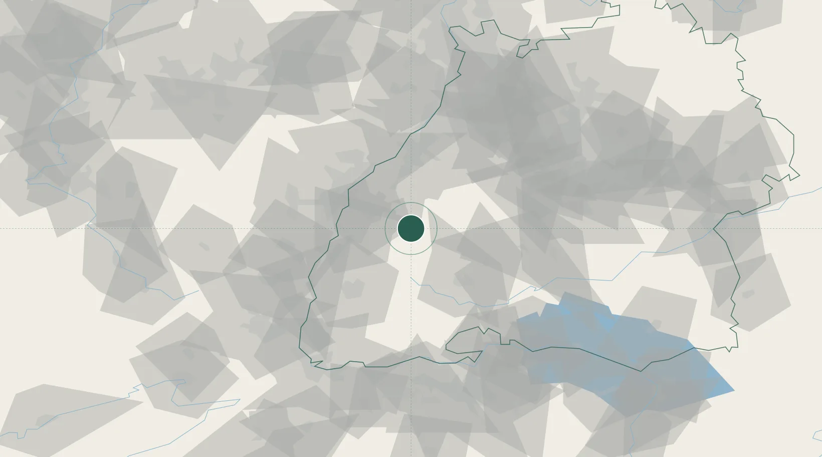
Nearby Logistics Neighbours

Cities
  1. 1Birach8 km
  2. 2Biberach12 km
  3. 3Haslach im Kinzigtal13 km
  4. 4Steinach (Ortenaukreis)14 km
  5. 5Sasbach15 km
Nearest neighbours — logibook spatial index (haversine) over the source coordinates
Ports
  1. 1Bruxelles390 km
  2. 2Antwerpen416 km
  3. 3Genova447 km
  4. 4Savona453 km
  5. 5Hansweert454 km
Nearest neighbours — logibook spatial index (haversine) over the source coordinates
Airports
  1. 1Lahr Airport26 km
  2. 2Strasbourg Airport44 km
  3. 3Karlsruhe Baden-Baden Airport45 km
  4. 4Donaueschingen-Villingen Airfield52 km
  5. 5Colmar Houssen airport68 km
Nearest neighbours — logibook spatial index (haversine) over the source coordinates
Trade Zones
  1. 1ZFU Neuhof36 km
  2. 2ZFU Hautepierre43 km
  3. 3ZFU Mulhouse95 km
  4. 4ZFU La Cité Behren-lès-Forbach127 km
  5. 5ZFU Belfort131 km
Nearest neighbours — logibook spatial index (haversine) over the source coordinates
DatabookThe Record of Consolidated Knowledge
Germany beyond logistics?
Browse databook

All Sources

LocationsUN/LOCODE
UN/LOCODE — free
Portsthe NGA World Port Index
Public domain (US gov)
AirportsOurAirports
Public domain
Trade Zonesthe World Bank SEZ database
CC BY 4.0
Trade ZonesOpen Zone Map
CC BY
← Germany locations