Medium airport · Germany
Lahr AirportEDTL
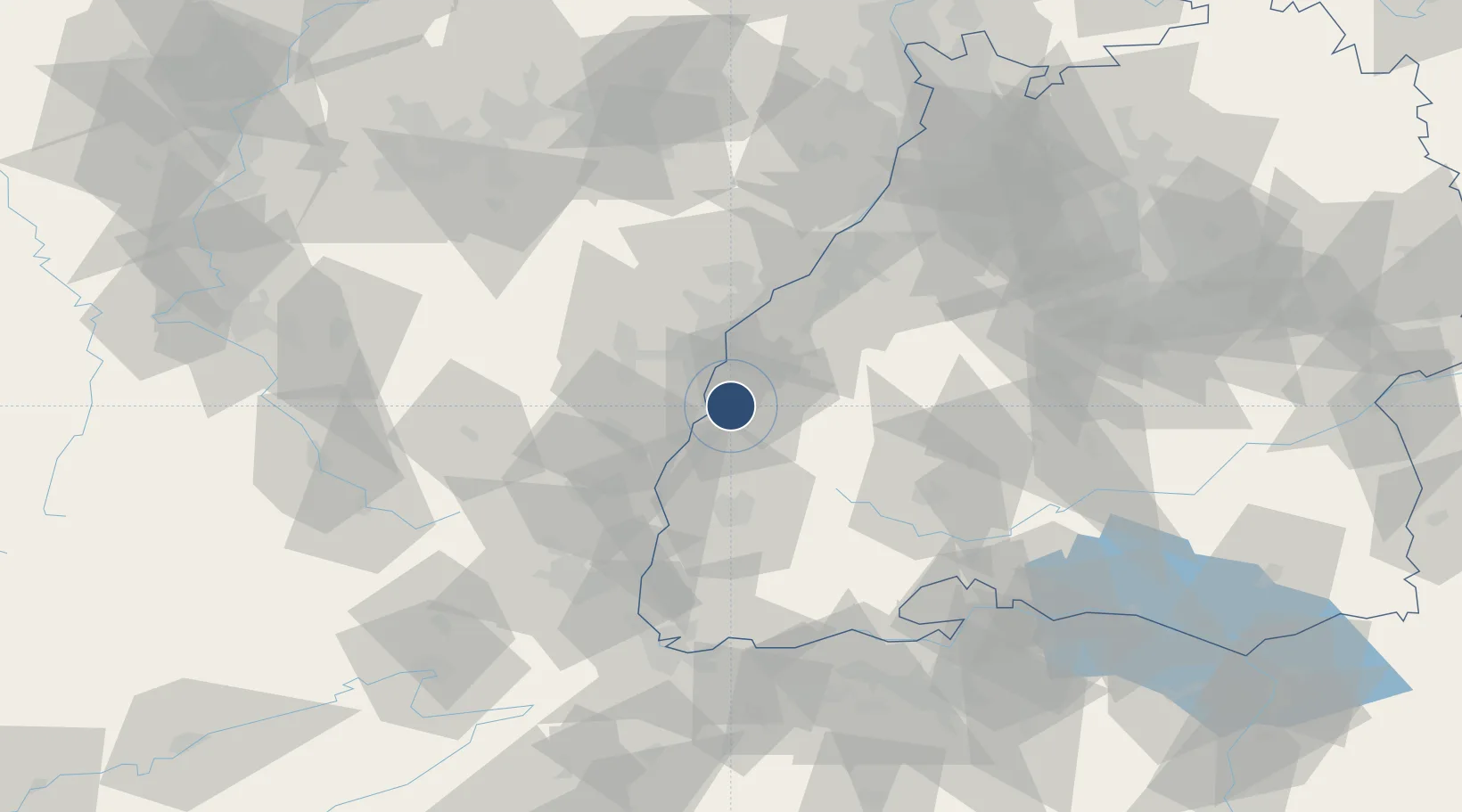
48.3693°, 7.8277°
9,842 ft
Longest runway
1
Runways
511 ft
Elevation
Runway & Layout

Radio Frequencies
TWR
125.18 MHz
Lahr Tower / Turm / Lahr Radio
APP
119.45 MHz
STRASSBOURG RADAR
AFIS
128.95 MHz
Langen Information
Navaids
LHR NDB Lahr 337 kHz
LRD DME Lahr 108.05 MHz
Runways · 1
| Runway | Dimensions | Surface | True heading | Lit |
|---|---|---|---|---|
| 03/21 | 9,842 × 148ft | Asphalt | 028° | ✓ |
Airport Specifications
IATA code
LHA
ICAO code
EDTL
Airport class
Medium airport
Scheduled service
No
Runway surface
Asphalt
Served city
Lahr/Schwarzwald
Location
Nearby Logistics Neighbours
Airports
Cities
- 1Friesenheim (Baden)4 km
- 2Ichenheim7 km
- 3Schutterwald10 km
- 4Seelbach11 km
- 5Plobsheim14 km
Trade Zones
- 1ZFU Neuhof20 km
- 2ZFU Hautepierre27 km
- 3ZFU Mulhouse78 km
- 4ZFU La Cité Behren-lès-Forbach111 km
- 5ZFU Belfort111 km
DatabookThe Record of Consolidated Knowledge
Germany beyond logistics?