Transport Functions
Rail
Road
Hub Profile
Place type
Local administrative seat
Region
Baden-Wurttemberg
Population
5,477
Time zone
Europe/Berlin
Elevation
384 m
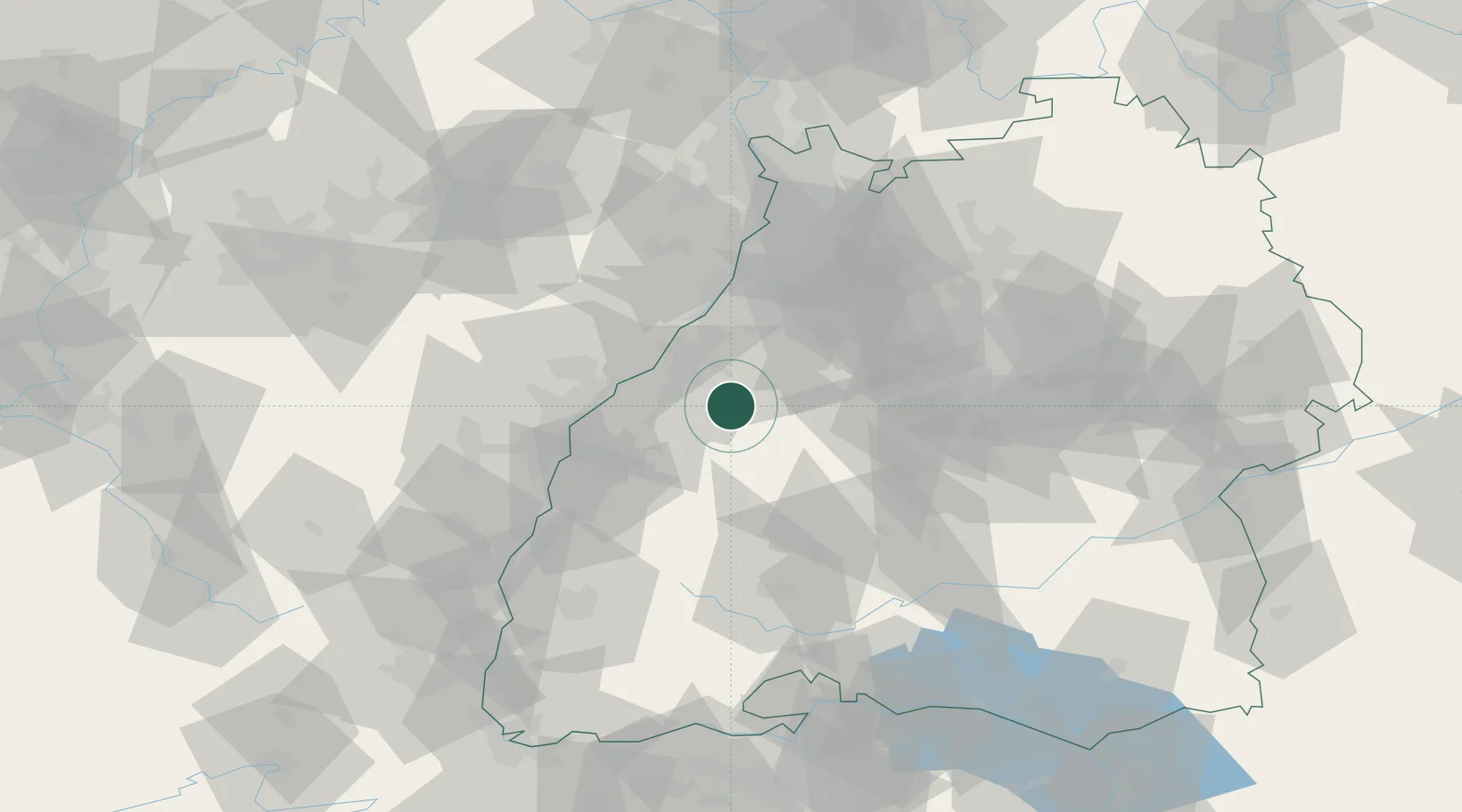
Location
Nearby Logistics Neighbours
Cities
- 1Baden-Baden10 km
- 2Grafenberg14 km
- 3Bühl16 km
- 4Sinzheim16 km
- 5Kuppenheim17 km
Airports
- 1Karlsruhe Baden-Baden Airport23 km
- 2Lahr Airport52 km
- 3Strasbourg Airport56 km
- 4Stuttgart Airport64 km
- 5Donaueschingen-Villingen Airfield80 km
Trade Zones
- 1ZFU Neuhof46 km
- 2ZFU Hautepierre49 km
- 3ZFU La Cité Behren-lès-Forbach117 km
- 4ZFU Mulhouse128 km
- 5ZFU Maxéville, Laxou, et de Nancy161 km
DatabookThe Record of Consolidated Knowledge
Germany beyond logistics?