Economic Revitalization Project · France
ZFU Belfort Active
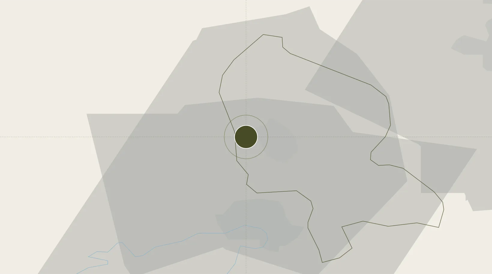
47.6456°, 6.8060°
114 ha
Zone area
392.6 km
Nearest port
17.7 km
Nearest airport
Gateway access
Zone profile
Zone type
Economic Revitalization Project
Region
Territoire de Belfort
Status
Active
Management
Public
Operator
Ville de Belfort
Legal framework
Décret no 65-939 du 8 novembre 1965, Décret du 9 Octobre 2008
Location
Nearby Logistics Neighbours
Ports
- 1Savona393 km
- 2Genova396 km
- 3Rada Di Vado397 km
- 4Bruxelles400 km
- 5Chiavari - Lavagna419 km
Airports
Cities
- 1Bavilliers4 km
- 2Belfort5 km
- 3Botans6 km
- 4Sermamagny6 km
- 5Bessoncourt10 km
Trade Zones
- 1ZFU Montbéliard16 km
- 2ZFU Mulhouse41 km
- 3ZFU Besancon75 km
- 4PESA - Port-Franc et Entrepôts de Lausanne-Chavornay SA106 km
- 5ZFU Neuhof122 km
DatabookThe Record of Consolidated Knowledge
France beyond logistics?