Transport Functions
Multimodal
Hub Profile
Place type
Populated place
Region
Baden-Wurttemberg
Time zone
Europe/Berlin
Elevation
745 m
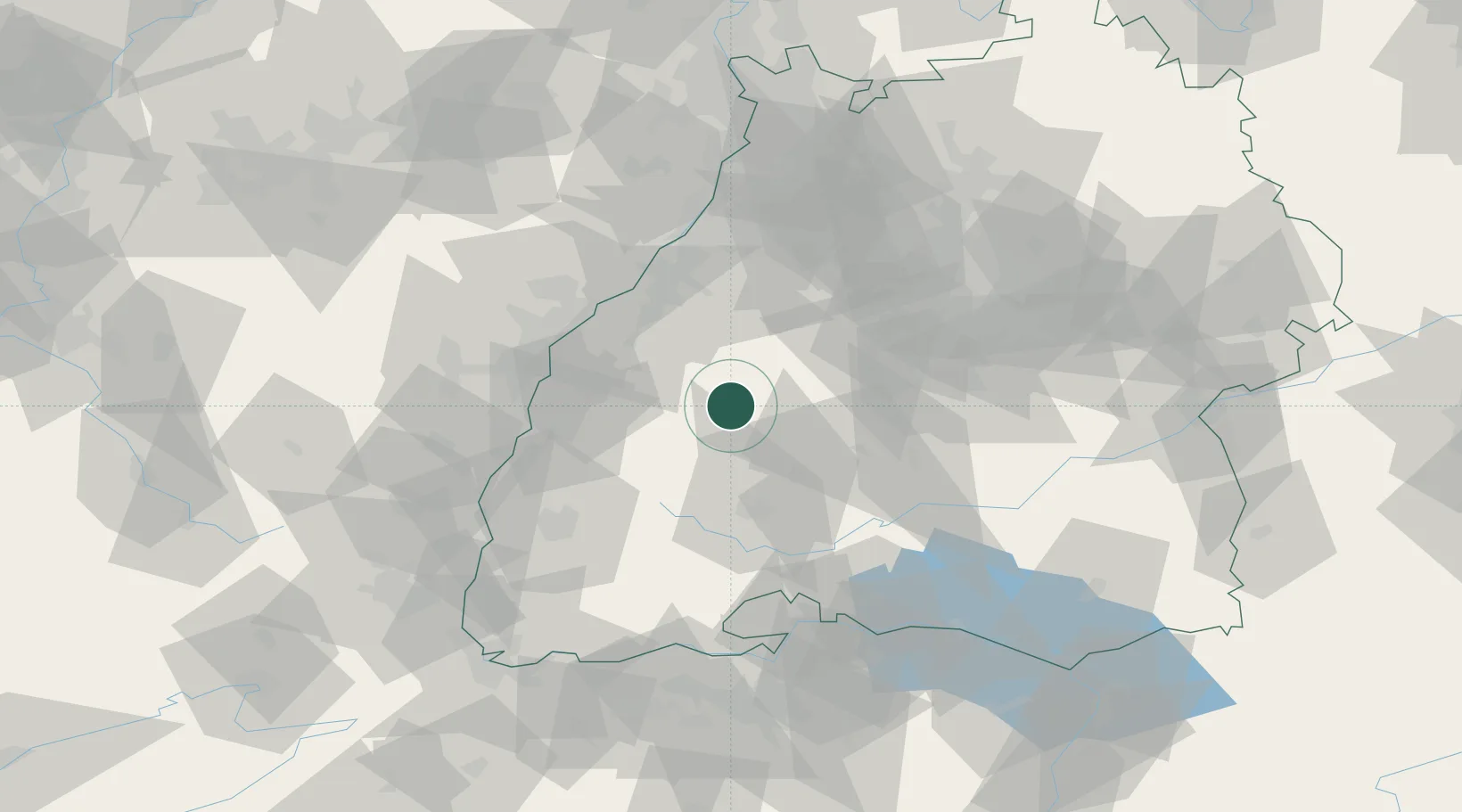
Location
Nearby Logistics Neighbours
Cities
- 1Baiersbronn10 km
- 2Fluorn14 km
- 3Schiltach16 km
- 4Waldmössingen17 km
- 5Schapbach18 km
Ports
- 1Bruxelles400 km
- 2Antwerpen424 km
- 3Genova449 km
- 4Porto Di Lido-Venezia452 km
- 5Savona456 km
Airports
- 1Lahr Airport44 km
- 2Karlsruhe Baden-Baden Airport47 km
- 3Donaueschingen-Villingen Airfield50 km
- 4Strasbourg Airport60 km
- 5Stuttgart Airport67 km
Trade Zones
- 1ZFU Neuhof50 km
- 2ZFU Hautepierre57 km
- 3ZFU Mulhouse109 km
- 4ZFU La Cité Behren-lès-Forbach137 km
- 5ZFU Belfort147 km
DatabookThe Record of Consolidated Knowledge
Germany beyond logistics?