Transport Functions
Multimodal
Hub Profile
Place type
Populated place
Region
Baden-Wurttemberg
Time zone
Europe/Berlin
Elevation
689 m
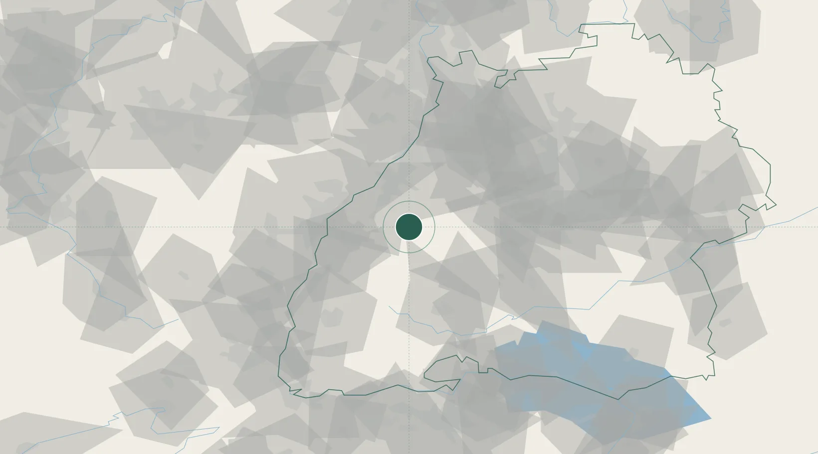
Location
Nearby Logistics Neighbours
Cities
- 1Baiersbronn10 km
- 2Forbach14 km
- 3Dettingen14 km
- 4Kappelrodeck14 km
- 5Sasbach18 km
Airports
- 1Karlsruhe Baden-Baden Airport29 km
- 2Lahr Airport41 km
- 3Strasbourg Airport50 km
- 4Donaueschingen-Villingen Airfield68 km
- 5Stuttgart Airport69 km
Trade Zones
- 1ZFU Neuhof40 km
- 2ZFU Hautepierre45 km
- 3ZFU Mulhouse116 km
- 4ZFU La Cité Behren-lès-Forbach121 km
- 5ZFU Belfort151 km
DatabookThe Record of Consolidated Knowledge
Germany beyond logistics?