Transport Functions
Port
Rail
Road
Hub Profile
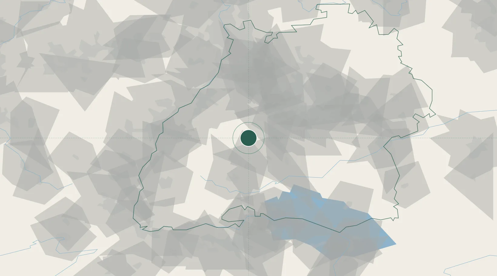
Place type
Populated place
Region
Bavaria
Time zone
Europe/Berlin
Elevation
276 m
Logistics facilities
2
Location
Nearby Logistics Neighbours
Cities
- 1Rohrdorf (Schwarzwald)12 km
- 2Ebhausen13 km
- 3Bondorf/Boblingen15 km
- 4Vöhringen15 km
- 5Odenwald18 km
Ports
- 1Bruxelles409 km
- 2Antwerpen432 km
- 3Porto Di Lido-Venezia444 km
- 4Genova453 km
- 5Porto Di Chioggia454 km
Airports
- 1Stuttgart Airport49 km
- 2Karlsruhe Baden-Baden Airport55 km
- 3Donaueschingen-Villingen Airfield55 km
- 4Lahr Airport62 km
- 5Mengen-Hohentengen Airfield70 km
Trade Zones
- 1ZFU Neuhof66 km
- 2ZFU Hautepierre72 km
- 3ZFU Mulhouse126 km
- 4ZFU La Cité Behren-lès-Forbach149 km
- 5ZFU Belfort165 km
DatabookThe Record of Consolidated Knowledge
Germany beyond logistics?