Seaport · Italy
GenovaITGOA
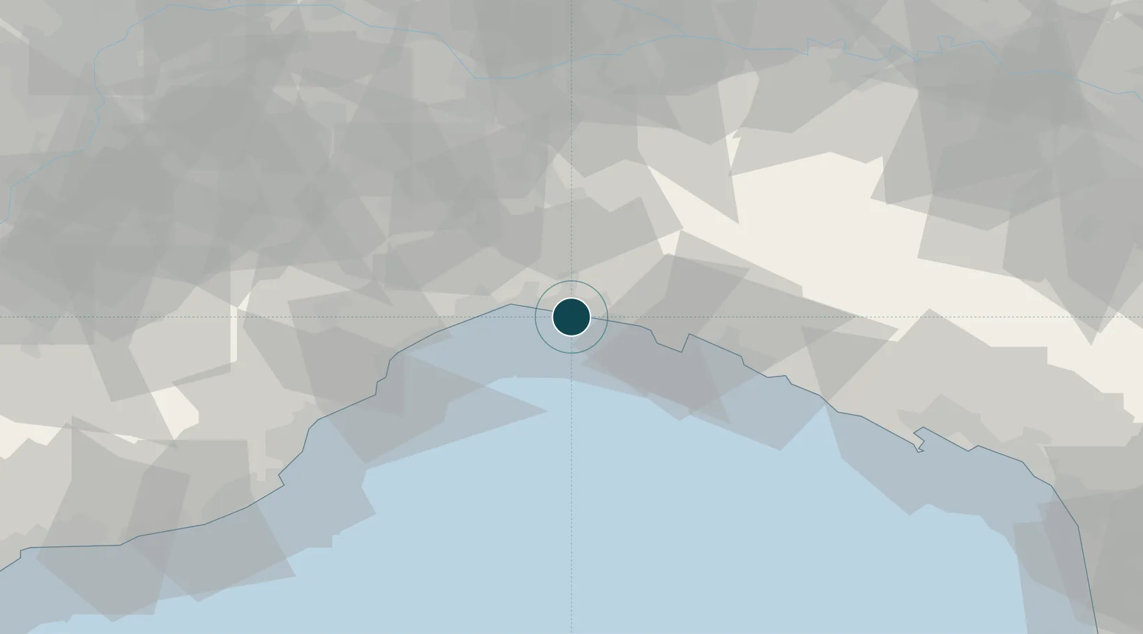
44.3980°, 8.9220°
15.5 m
Channel depth
5
Container terminals
432.1
Port liner connectivity
Channel & Berth Profile
Pilotage, Tugs & Services
Pilotage compulsoryYES
Pilotage availableYES
Pilotage advisableYES
Tug assistanceYES
Salvage tugsYES
Shore powerYES
Potable waterYES
Diesel bunkersYES
MedicalYES
Garbage disposalYES
Facilities & Capabilities
Container—
Ro-Ro—
Liquid bulk—
Dry bulk—
Oil terminal—
Break bulk—
Dry dockNO
RepairsNO
BunkeringYES
Rail linkYES
Dangerous cargo—
ISPS security—
Harbour Specifications
Harbour size
Large
Harbour type
Coastal (Breakwater)
Shelter
Excellent
Water body
Ligurian Sea; Mediterranean Sea; North Atlantic Ocean
Tidal range
1 m
Overhead limit
Yes
Pilotage
Yes
Liner Connectivity
432.1
PLSCI
Port Liner Shipping Connectivity Index for Genova, as published by UNCTAD for the latest available quarter. Higher values indicate stronger scheduled liner-shipping integration.
Shown relative to the highest per-port PLSCI in the dataset (1,657.9).
Location
Container Terminals · 5
GENOA PORT TERMINAL
GPT
INTERMODAL MARINE TERMINAL
MESSIN GRUPPO MESSINA S.P.A.
SECH TERMINAL
SECH SOUTH EUROPEAN CONTAINER HUB
TERMINAL SAN GIORGIO - PONTE LIBIA
TSG TERMINAL SAN GIORGIO
VOLTRI TERMINAL EUROPA - PORTO DI PRA
VTE PSA VOLTRI TERMINAL
Nearby Logistics Neighbours
Ports
- 1Chiavari - Lavagna34 km
- 2Savona35 km
- 3Rada Di Vado40 km
- 4La Spezia80 km
- 5Imperia91 km
Airports
Trade Zones
- 1ZFU LAriane150 km
- 2Magazzini Generali Con Chiasso161 km
- 3Aosta Valley222 km
- 4Livigno Free Trade Zone254 km
- 5Consorzio Zona Industriale e Porto Fluviale di Padova261 km
DatabookThe Record of Consolidated Knowledge
Italy beyond logistics?