Transport Functions
Port
Airport
Hub Profile
Place type
Populated place
Region
British Columbia
Population
90,504
Time zone
America/Vancouver
Elevation
16 m
Logistics facilities
1
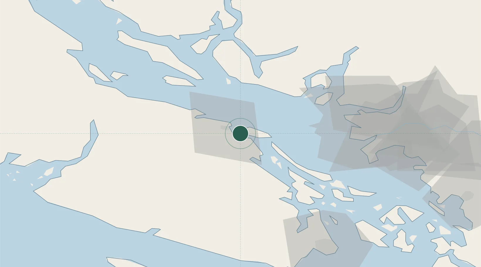
Location
Nearby Logistics Neighbours
Cities
- 1Lantzville17 km
- 2Thetis Island25 km
- 3Duncan/Quam44 km
- 4Bowen Island47 km
- 5Burrard Inlet54 km
Ports
- 1Harmac4 km
- 2Nanoose Harbor22 km
- 3Crofton38 km
- 4Ganges46 km
- 5Port Mellon50 km
Airports
Trade Zones
- 1FTZ Vancouver Island57 km
- 2FTZ No. 128 Whatcom County105 km
- 3FTZ No. 129 Bellingham109 km
- 4FTZ No. 085 Everett178 km
- 5FTZ No. 005 Seattle201 km
DatabookThe Record of Consolidated Knowledge
Canada beyond logistics?