Transport Functions
Rail
Road
Airport
Hub Profile
Region
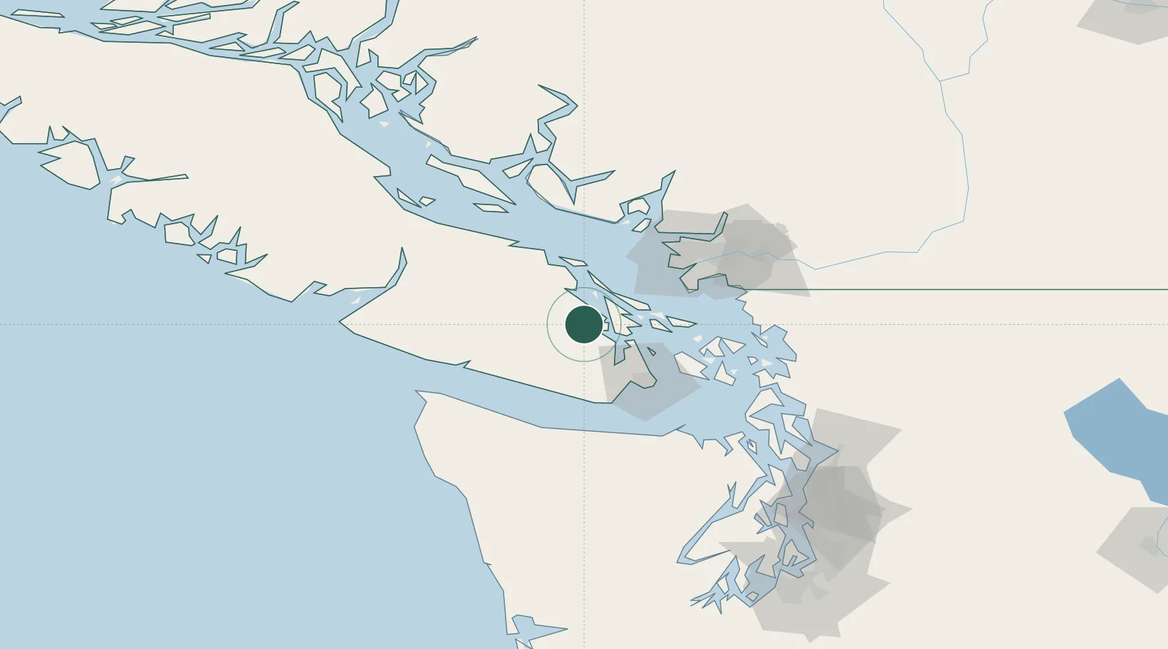
BC
Location
Nearby Logistics Neighbours
Cities
- 1Cobble Hill14 km
- 2Thetis Island22 km
- 3Brentwood Bay30 km
- 4Nanaimo44 km
- 5Victoria47 km
Ports
- 1Cowichan Bay8 km
- 2Crofton11 km
- 3Ganges19 km
- 4Sidney29 km
- 5Bamberton30 km
Airports
Trade Zones
- 1FTZ Vancouver Island68 km
- 2FTZ No. 128 Whatcom County86 km
- 3FTZ No. 129 Bellingham87 km
- 4FTZ No. 085 Everett141 km
- 5FTZ No. 005 Seattle159 km
DatabookThe Record of Consolidated Knowledge
Canada beyond logistics?