Runway & Layout

Airport Specifications
IATA code
ZNA
ICAO code
CAC8
Airport class
Seaplane base
Scheduled service
Yes
Served city
Nanaimo
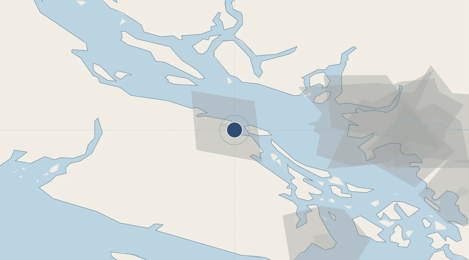
Location
Nearby Logistics Neighbours
Airports
Cities
- 1Nanaimo3 km
- 2Lantzville14 km
- 3Thetis Island28 km
- 4Duncan/Quam46 km
- 5Bowen Island49 km
Ports
- 1Harmac7 km
- 2Nanoose Harbor19 km
- 3Crofton40 km
- 4Ganges48 km
- 5Port Mellon51 km
Trade Zones
- 1FTZ Vancouver Island60 km
- 2FTZ No. 128 Whatcom County109 km
- 3FTZ No. 129 Bellingham112 km
- 4FTZ No. 085 Everett181 km
- 5FTZ No. 005 Seattle204 km
DatabookThe Record of Consolidated Knowledge
Canada beyond logistics?