Runway & Layout

Airport Specifications
ICAO code
CDH5
Airport class
Heliport
Scheduled service
Yes
Served city
Nanaimo
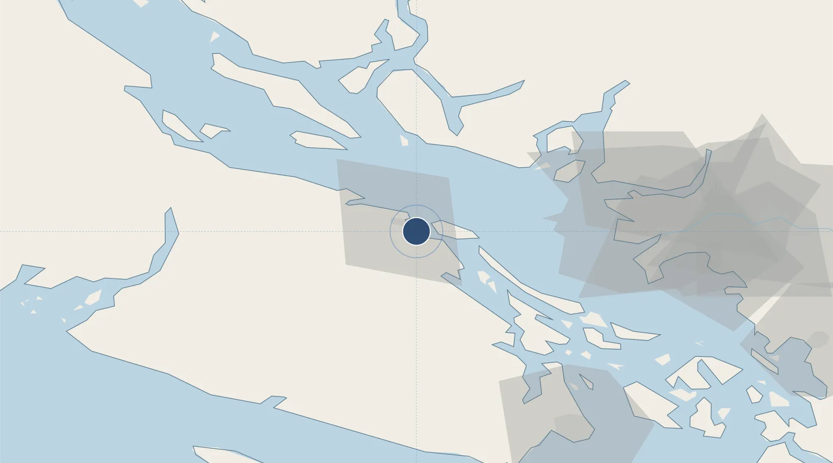
Location
Nearby Logistics Neighbours
Airports
Cities
- 1Nanaimo2 km
- 2Lantzville15 km
- 3Thetis Island26 km
- 4Duncan/Quam45 km
- 5Bowen Island49 km
Ports
- 1Harmac6 km
- 2Nanoose Harbor20 km
- 3Crofton39 km
- 4Ganges47 km
- 5Port Mellon51 km
Trade Zones
- 1FTZ Vancouver Island59 km
- 2FTZ No. 128 Whatcom County108 km
- 3FTZ No. 129 Bellingham111 km
- 4FTZ No. 085 Everett180 km
- 5FTZ No. 005 Seattle202 km
DatabookThe Record of Consolidated Knowledge
Canada beyond logistics?