Medium airport · Canada

Nanaimo AirportCYCD

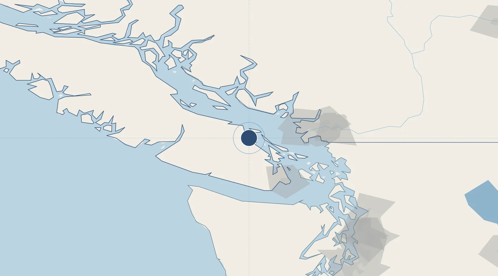
49.0550°, -123.8699°
6,602 ft
Longest runway
1
Runways
92 ft
Elevation

Runway & Layout

Nanaimo Airport runway & taxiway layout
Runway & taxiway layout — OpenStreetMap (ODbL) / OurAirports

Radio Frequencies

ATIS
128.425 MHz
Nanaimo ATIS
APP
133.95 MHz
VICTORIA TRML
ATF
122.1 MHz
FSS
122.1 MHz
RDO
RCO
126.7 MHz
PACIFIC RDO
OurAirports

Navaids

1CD DME Nanaimo 111.45 MHz
YCD NDB Nanaimo 251 kHz
OurAirports

Runways · 1

RunwayDimensions SurfaceTrue headingLit
16/34 6,602 × 150ft Asphalt 181°
OurAirports

Airport Specifications

IATA code
YCD
OurAirports
ICAO code
CYCD
OurAirports
Airport class
Medium airport
OurAirports
Scheduled service
Yes
OurAirports
Runway surface
Asphalt
OurAirports
Served city
Nanaimo
OurAirports

Location

Location of CYCD
Natural Earth 10m (public domain) · British Columbia · CYCD · 49.05, -123.87GoogleOSMYandex

Nearby Logistics Neighbours

Airports
  1. 1Nanaimo Harbour Heliport12 km
  2. 2Nanaimo Harbour Water Aerodrome14 km
  3. 3Silva Bay Seaplane Base16 km
  4. 4Telegraph Harbour Seaplane Base18 km
  5. 5Maple Bay Seaplane Base33 km
Nearest neighbours — logibook spatial index (haversine) over the source coordinates
Cities
  1. 1Nanaimo12 km
  2. 2Thetis Island16 km
  3. 3Lantzville27 km
  4. 4Duncan/Quam32 km
  5. 5Cobble Hill46 km
Nearest neighbours — logibook spatial index (haversine) over the source coordinates
Ports
  1. 1Harmac9 km
  2. 2Crofton27 km
  3. 3Nanoose Harbor31 km
  4. 4Ganges36 km
  5. 5Cowichan Bay39 km
Nearest neighbours — logibook spatial index (haversine) over the source coordinates
Trade Zones
  1. 1FTZ Vancouver Island59 km
  2. 2FTZ No. 128 Whatcom County100 km
  3. 3FTZ No. 129 Bellingham103 km
  4. 4FTZ No. 085 Everett169 km
  5. 5FTZ No. 005 Seattle190 km
Nearest neighbours — logibook spatial index (haversine) over the source coordinates
DatabookThe Record of Consolidated Knowledge
Canada beyond logistics?
Browse databook

All Sources

AirportsOurAirports
Public domain
Portsthe NGA World Port Index
Public domain (US gov)
LocationsUN/LOCODE
UN/LOCODE — free
Trade Zonesthe World Bank SEZ database
CC BY 4.0
Trade ZonesOpen Zone Map
CC BY
InfrastructureOpenStreetMap
ODbL 1.0
← Canada airports