Medium airport · Canada

Qualicum Beach AirportCAT4

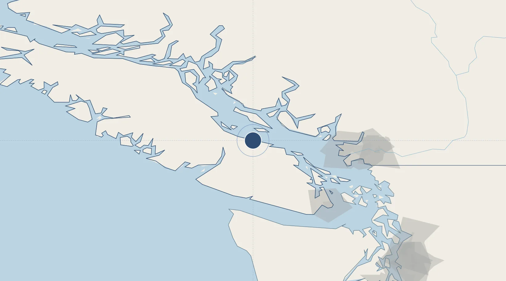
49.3375°, -124.3931°
3,565 ft
Longest runway
1
Runways
191 ft
Elevation

Runway & Layout

Qualicum Beach Airport runway & taxiway layout
Runway & taxiway layout — OpenStreetMap (ODbL) / OurAirports

Radio Frequencies

ATF
122.8 MHz
CNTR
123.7 MHz
COMOX CNTR
OurAirports

Runways · 1

RunwayDimensions SurfaceTrue headingLit
11/29 3,565 × 75ft Asphalt 127°
OurAirports

Airport Specifications

IATA code
XQU
OurAirports
ICAO code
CAT4
OurAirports
Airport class
Medium airport
OurAirports
Scheduled service
Yes
OurAirports
Runway surface
Asphalt
OurAirports
Served city
Qualicum Beach
OurAirports

Location

Location of CAT4
Natural Earth 10m (public domain) · British Columbia · CAT4 · 49.34, -124.39GoogleOSMYandex

Nearby Logistics Neighbours

Airports
  1. 1Port Alberni Seaplane Base33 km
  2. 2Nanaimo Harbour Water Aerodrome38 km
  3. 3Nanaimo Harbour Heliport39 km
  4. 4Sechelt/Porpoise Bay Water Aerodrome49 km
  5. 5Nanaimo Airport49 km
Nearest neighbours — logibook spatial index (haversine) over the source coordinates
Cities
  1. 1Lantzville25 km
  2. 2Denman Island38 km
  3. 3Nanaimo41 km
  4. 4Thetis Island65 km
  5. 5Bowen Island77 km
Nearest neighbours — logibook spatial index (haversine) over the source coordinates
Ports
  1. 1Nanoose Harbor19 km
  2. 2Port Alberni33 km
  3. 3Harmac46 km
  4. 4Comox Harbor53 km
  5. 5Port Mellon69 km
Nearest neighbours — logibook spatial index (haversine) over the source coordinates
Trade Zones
  1. 1FTZ Vancouver Island93 km
  2. 2FTZ No. 128 Whatcom County146 km
  3. 3FTZ No. 129 Bellingham150 km
  4. 4FTZ No. 085 Everett218 km
  5. 5FTZ No. 005 Seattle238 km
Nearest neighbours — logibook spatial index (haversine) over the source coordinates
DatabookThe Record of Consolidated Knowledge
Canada beyond logistics?
Browse databook

All Sources

AirportsOurAirports
Public domain
Portsthe NGA World Port Index
Public domain (US gov)
LocationsUN/LOCODE
UN/LOCODE — free
Trade Zonesthe World Bank SEZ database
CC BY 4.0
Trade ZonesOpen Zone Map
CC BY
InfrastructureOpenStreetMap
ODbL 1.0
← Canada airports