UN/LOCODE hub · Canada
CABNI

Bowen Island

49.3667°, -123.3333°
4,256
Population
2
Transport functions

Transport Functions

Port
Road
UN/LOCODE

Hub Profile

Place type
Populated place
GeoNames
Region
British Columbia
GeoNames
Population
4,256
GeoNames
Time zone
America/Vancouver
GeoNames
Elevation
30 m
GeoNames

Location

Location of CABNI
Natural Earth 10m (public domain) · British Columbia · CABNI · 49.37, -123.33GoogleOSMYandex

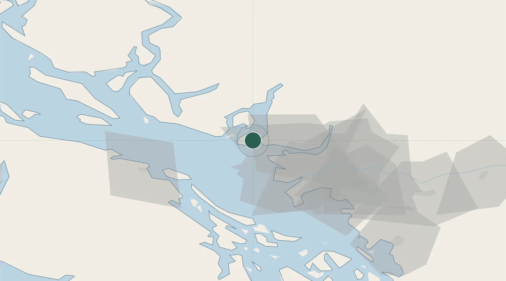
Nearby Logistics Neighbours

Cities
  1. 1Burrard Inlet13 km
  2. 2West Vancouver14 km
  3. 3English Bay16 km
  4. 4North Vancouver20 km
  5. 5Vancouver33 km
Nearest neighbours — logibook spatial index (haversine) over the source coordinates
Ports
  1. 1Vancouver18 km
  2. 2Port Mellon20 km
  3. 3Steveston28 km
  4. 4Port Moody34 km
  5. 5New Westminster36 km
Nearest neighbours — logibook spatial index (haversine) over the source coordinates
Airports
  1. 1Vancouver Harbour Water Aerodrome18 km
  2. 2Harbour (Public) Heliport19 km
  3. 3Vancouver International Airport22 km
  4. 4Vancouver International Seaplane Base24 km
  5. 5Poise Cove Waterdrome33 km
Nearest neighbours — logibook spatial index (haversine) over the source coordinates
Trade Zones
  1. 1FTZ Vancouver Island21 km
  2. 2FTZ No. 128 Whatcom County84 km
  3. 3FTZ No. 129 Bellingham90 km
  4. 4FTZ No. 085 Everett172 km
  5. 5FTZ No. 005 Seattle205 km
Nearest neighbours — logibook spatial index (haversine) over the source coordinates
DatabookThe Record of Consolidated Knowledge
Canada beyond logistics?
Browse databook

All Sources

LocationsUN/LOCODE
UN/LOCODE — free
LocationsGeoNames
CC BY 4.0
Portsthe NGA World Port Index
Public domain (US gov)
AirportsOurAirports
Public domain
Trade Zonesthe World Bank SEZ database
CC BY 4.0
Trade ZonesOpen Zone Map
CC BY
← Canada locations