Seaport · Canada

CroftonCACRO

48.8667°, -123.6333°
15.7
Port liner connectivity

Channel & Berth Profile

SEA LEVEL (CD)CHANNEL BEDCargo pier · 11.0 mAnchorage · 23.2 m
NGA World Port Index

Pilotage, Tugs & Services

Pilotage compulsoryYES
Pilotage availableYES
Local assistanceYES
Tug assistanceYES
Shore powerNO
Potable waterYES
Diesel bunkersYES
MedicalYES
Garbage disposalYES
NGA World Port Index

Facilities & Capabilities

Container
Ro-Ro
Liquid bulk
Dry bulk
Oil terminal
Break bulk
Dry dock
RepairsNO
BunkeringNO
Rail linkYES
Dangerous cargo
ISPS security
NGA World Port Index

Harbour Specifications

Harbour size
Very Small
NGA World Port Index
Harbour type
Coastal (Natural)
NGA World Port Index
Shelter
Fair
NGA World Port Index
Water body
Alaska-Canada coastal waters; North Pacific Ocean
NGA World Port Index
Tidal range
4 m
NGA World Port Index
Overhead limit
No
NGA World Port Index
Pilotage
Yes
NGA World Port Index

Liner Connectivity

15.7
PLSCI

Port Liner Shipping Connectivity Index for Crofton, as published by UNCTAD for the latest available quarter. Higher values indicate stronger scheduled liner-shipping integration.

Shown relative to the highest per-port PLSCI in the dataset (1,657.9).
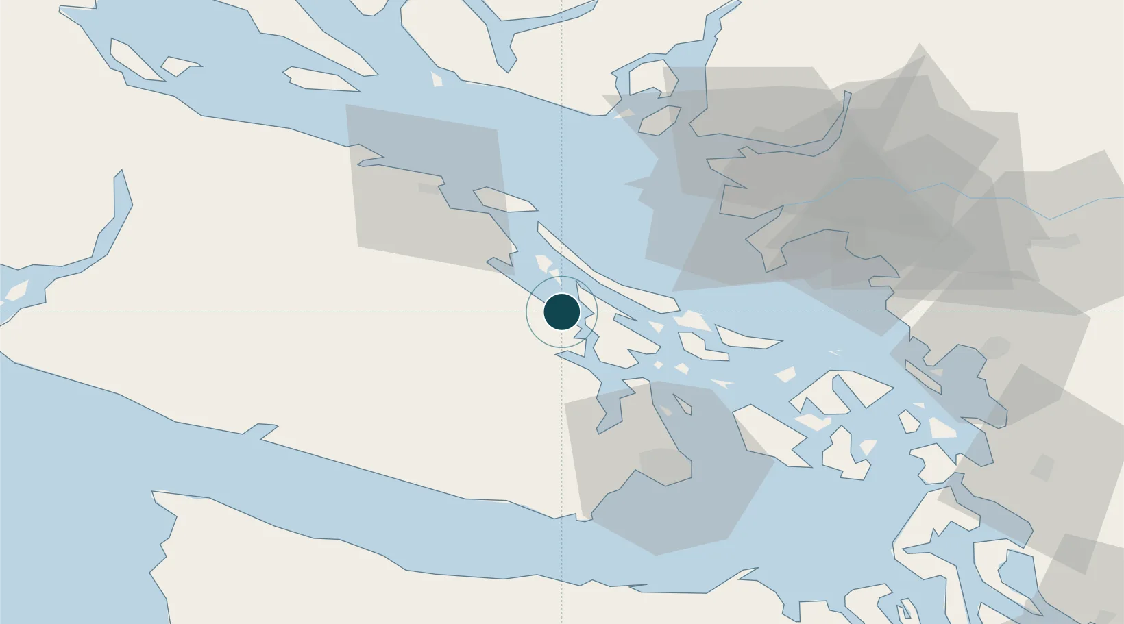
UNCTAD · Port Liner Shipping Connectivity Index

Location

Location of CACRO
Natural Earth 10m (public domain) · Washington · CACRO · 48.87, -123.63GoogleOSMYandex

Nearby Logistics Neighbours

Ports
  1. 1Ganges11 km
  2. 2Cowichan Bay13 km
  3. 3Sidney30 km
  4. 4Lyall Harbor33 km
  5. 5Harmac34 km
Nearest neighbours — logibook spatial index (haversine) over the source coordinates
Cities
  1. 1Duncan/Quam11 km
  2. 2Thetis Island14 km
  3. 3Cobble Hill21 km
  4. 4Brentwood Bay34 km
  5. 5Nanaimo38 km
Nearest neighbours — logibook spatial index (haversine) over the source coordinates
Airports
  1. 1Maple Bay Seaplane Base6 km
  2. 2Ganges Seaplane Base10 km
  3. 3Telegraph Harbour Seaplane Base12 km
  4. 4Montague Harbour Seaplane Base18 km
  5. 5Port Washington Seaplane Base24 km
Nearest neighbours — logibook spatial index (haversine) over the source coordinates
Trade Zones
  1. 1FTZ Vancouver Island57 km
  2. 2FTZ No. 128 Whatcom County80 km
  3. 3FTZ No. 129 Bellingham82 km
  4. 4FTZ No. 085 Everett142 km
  5. 5FTZ No. 005 Seattle163 km
Nearest neighbours — logibook spatial index (haversine) over the source coordinates
DatabookThe Record of Consolidated Knowledge
Canada beyond logistics?
Browse databook

All Sources

Portsthe NGA World Port Index
Public domain (US gov)
Logistics performanceUNCTAD
CC BY 3.0 IGO
AirportsOurAirports
Public domain
LocationsUN/LOCODE
UN/LOCODE — free
Trade Zonesthe World Bank SEZ database
CC BY 4.0
Trade ZonesOpen Zone Map
CC BY
← Canada ports