Seaport · Canada
Port MellonCAPML
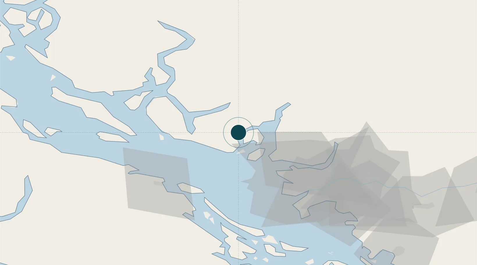
49.5167°, -123.4833°
9.4 m
Channel depth
17.0
Port liner connectivity
Channel & Berth Profile
Pilotage, Tugs & Services
Pilotage compulsoryYES
Pilotage availableYES
Tug assistanceYES
Shore powerYES
Potable waterYES
Facilities & Capabilities
Container—
Ro-Ro—
Liquid bulk—
Dry bulk—
Oil terminal—
Break bulk—
Dry dock—
Repairs—
Bunkering—
Rail link—
Dangerous cargo—
ISPS security—
Harbour Specifications
Harbour size
Very Small
Harbour type
Coastal (Natural)
Shelter
Fair
Water body
Alaska-Canada coastal waters; North Pacific Ocean
Overhead limit
No
Pilotage
Yes
Liner Connectivity
17
PLSCI
Port Liner Shipping Connectivity Index for Port Mellon, as published by UNCTAD for the latest available quarter. Higher values indicate stronger scheduled liner-shipping integration.
Shown relative to the highest per-port PLSCI in the dataset (1,657.9).
Location
Nearby Logistics Neighbours
Ports
- 1Vancouver37 km
- 2Steveston48 km
- 3Harmac50 km
- 4Port Moody51 km
- 5New Westminster54 km
Cities
- 1Bowen Island20 km
- 2West Vancouver32 km
- 3Burrard Inlet32 km
- 4English Bay36 km
- 5North Vancouver38 km
Airports
Trade Zones
- 1FTZ Vancouver Island40 km
- 2FTZ No. 128 Whatcom County104 km
- 3FTZ No. 129 Bellingham110 km
- 4FTZ No. 085 Everett192 km
- 5FTZ No. 005 Seattle224 km
DatabookThe Record of Consolidated Knowledge
Canada beyond logistics?