Transport Functions
Port
Road
Hub Profile
Place type
Populated place
Region
British Columbia
Time zone
America/Vancouver
Elevation
25 m
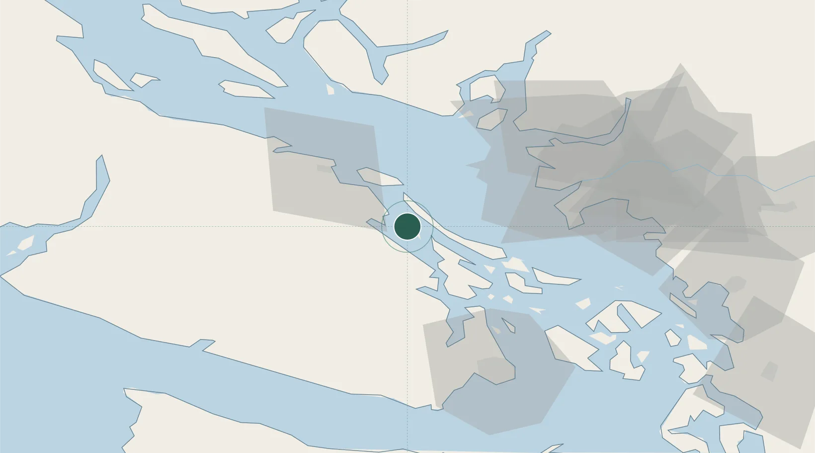
Location
Nearby Logistics Neighbours
Cities
- 1Duncan/Quam22 km
- 2Nanaimo25 km
- 3Cobble Hill34 km
- 4Robert's Bank39 km
- 5Lantzville42 km
Ports
- 1Crofton14 km
- 2Harmac21 km
- 3Ganges21 km
- 4Cowichan Bay26 km
- 5Steveston40 km
Airports
- 1Telegraph Harbour Seaplane Base2 km
- 2Nanaimo Airport16 km
- 3Silva Bay Seaplane Base19 km
- 4Maple Bay Seaplane Base19 km
- 5Ganges Seaplane Base20 km
Trade Zones
- 1FTZ Vancouver Island51 km
- 2FTZ No. 128 Whatcom County85 km
- 3FTZ No. 129 Bellingham88 km
- 4FTZ No. 085 Everett154 km
- 5FTZ No. 005 Seattle176 km
DatabookThe Record of Consolidated Knowledge
Canada beyond logistics?