Seaplane base · Canada

Silva Bay Seaplane BaseSYF

49.1510°, -123.6980°

Runway & Layout

Airport Specifications
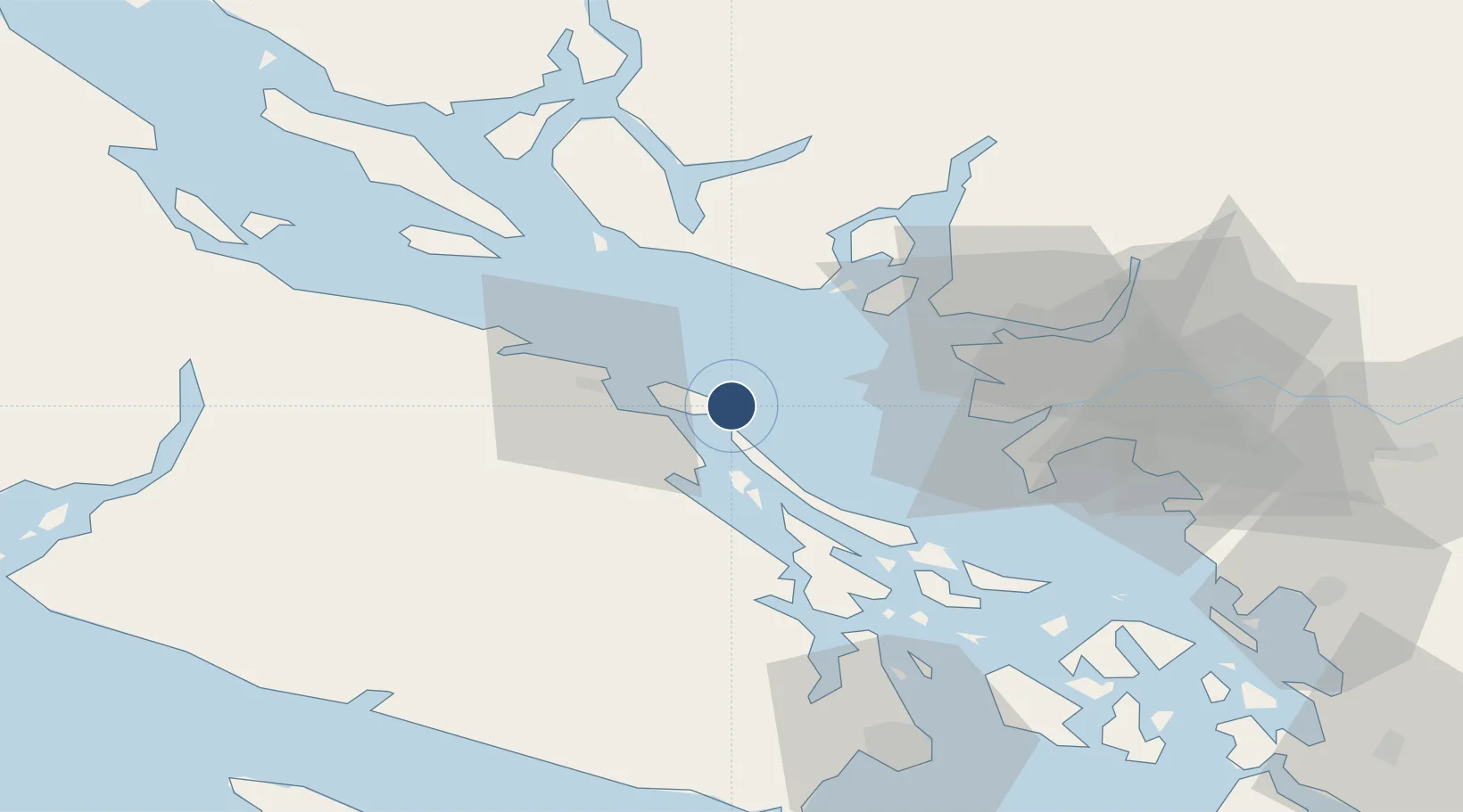
IATA code
SYF
OurAirports
Airport class
Seaplane base
OurAirports
Scheduled service
Yes
OurAirports
Served city
Gabriola Island
OurAirports

Location

Location of SYF
Natural Earth 10m (public domain) · British Columbia · SYF · 49.15, -123.70GoogleOSMYandex

Nearby Logistics Neighbours

Airports
  1. 1Nanaimo Harbour Heliport16 km
  2. 2Nanaimo Airport16 km
  3. 3Nanaimo Harbour Water Aerodrome17 km
  4. 4Telegraph Harbour Seaplane Base20 km
  5. 5Ganges Seaplane Base36 km
Nearest neighbours — logibook spatial index (haversine) over the source coordinates
Cities
  1. 1Nanaimo14 km
  2. 2Thetis Island19 km
  3. 3Lantzville30 km
  4. 4Bowen Island36 km
  5. 5Robert's Bank40 km
Nearest neighbours — logibook spatial index (haversine) over the source coordinates
Ports
  1. 1Harmac11 km
  2. 2Crofton32 km
  3. 3Nanoose Harbor35 km
  4. 4Ganges37 km
  5. 5Steveston38 km
Nearest neighbours — logibook spatial index (haversine) over the source coordinates
Trade Zones
  1. 1FTZ Vancouver Island44 km
  2. 2FTZ No. 128 Whatcom County92 km
  3. 3FTZ No. 129 Bellingham96 km
  4. 4FTZ No. 085 Everett168 km
  5. 5FTZ No. 005 Seattle193 km
Nearest neighbours — logibook spatial index (haversine) over the source coordinates
DatabookThe Record of Consolidated Knowledge
Canada beyond logistics?
Browse databook

All Sources

AirportsOurAirports
Public domain
Portsthe NGA World Port Index
Public domain (US gov)
LocationsUN/LOCODE
UN/LOCODE — free
Trade Zonesthe World Bank SEZ database
CC BY 4.0
Trade ZonesOpen Zone Map
CC BY
← Canada airports