Transport Functions
Port
Road
Hub Profile
Place type
Locality
Region
Alberta
Time zone
America/Edmonton
Elevation
826 m
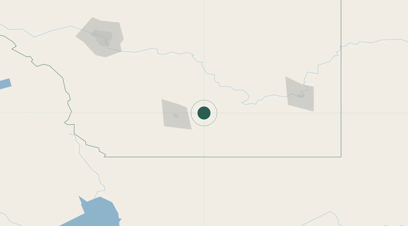
Location
Nearby Logistics Neighbours
Cities
- 1Taber15 km
- 2Iron Springs31 km
- 3Picture Butte34 km
- 4New Dayton35 km
- 5Grassy Lake47 km
Ports
- 1Mission City719 km
- 2Bellingham745 km
- 3Everett747 km
- 4Port Coquitlam754 km
- 5Mukilteo754 km
Airports
- 1Lethbridge County Airport35 km
- 2Medicine Hat Regional Airport121 km
- 3Pincher Creek Airport121 km
- 4Cut Bank International Airport127 km
- 5Calgary International Airport192 km
Trade Zones
- 1FTZ No. 187 Toole County127 km
- 2Calgary Region Inland Port189 km
- 3FTZ No. 088 Great Falls258 km
- 4FTZ No. 242 Boundary County343 km
- 5FTZ No. 275 Lansing416 km
DatabookThe Record of Consolidated Knowledge
Canada beyond logistics?