UN/LOCODE hub · Belgium
BEANR
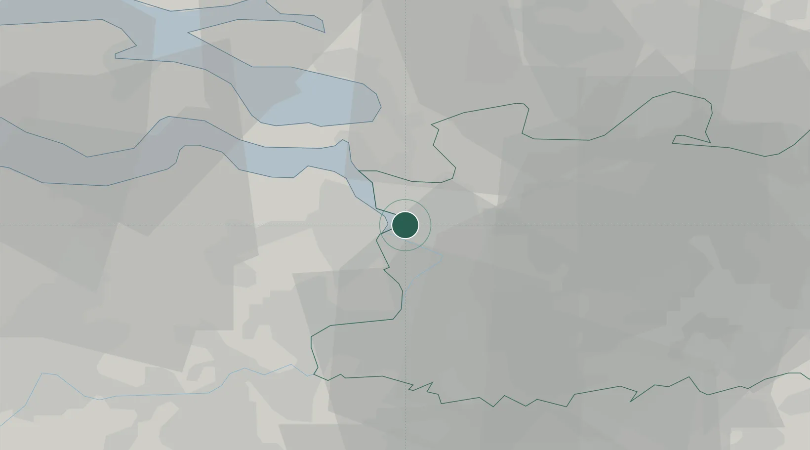
Antwerpen
51.2823°, 4.3354°
529,247
Population
5
Transport functions
11
Container terminals
Transport Functions
Port
Rail
Road
Airport
Postal
Hub Profile
Place type
Populated place
Region
Flanders
Population
529,247
Time zone
Europe/Brussels
Elevation
13 m
Logistics facilities
87
Container terminals
11
Location
Nearby Logistics Neighbours
Cities
- 1Antwerp Churchill Terminal1 km
- 2Lillo3 km
- 3Kallo5 km
- 4Pijp Tabak6 km
- 5Ekeren6 km
Ports
- 1Hansweert30 km
- 2Terneuzen37 km
- 3Bruxelles46 km
- 4Ghent48 km
- 5Vlissingen54 km
Airports
- 1Antwerp International Airport (Deurne)14 km
- 2Woensdrecht Air Base19 km
- 3Brussels Airport44 km
- 4Gilze Rijen Air Base52 km
- 5Beauvechain Air Base66 km
Trade Zones
- 1ZFU Tourcoing103 km
- 2ZFU Hem et Roubaix105 km
- 3ZFU Condé sur lEscaut105 km
- 4ZFU Maubeuge, Louvroil117 km
- 5ZFU de Lille et de Loos118 km
DatabookThe Record of Consolidated Knowledge
Belgium beyond logistics?