Transport Functions
Road
Multimodal
Hub Profile
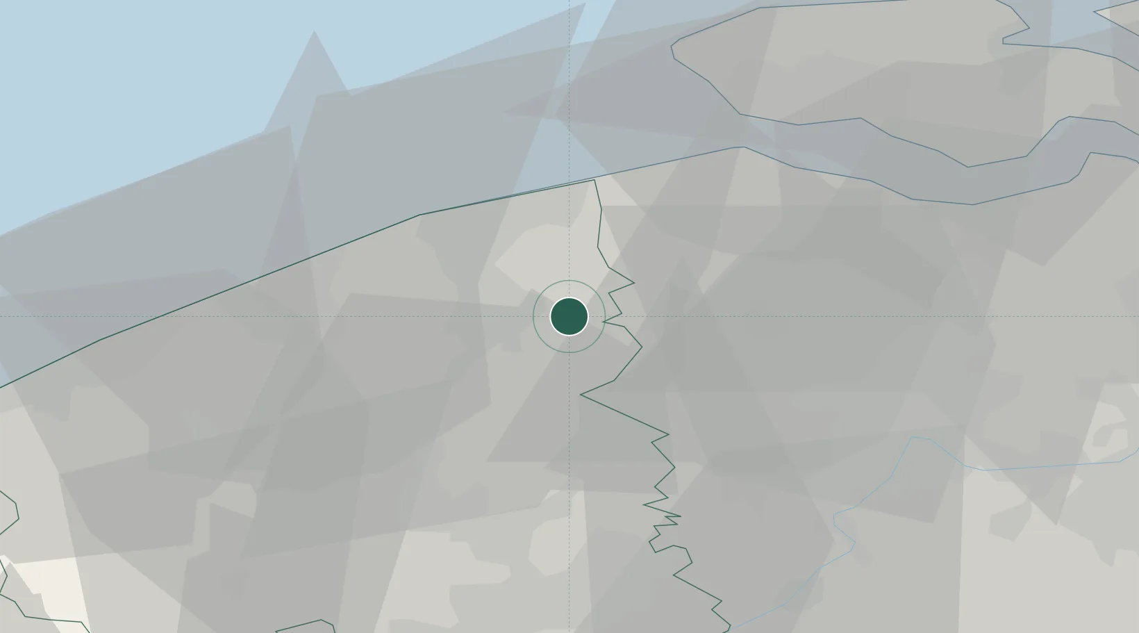
Place type
Populated place
Region
Flanders
Population
5,348
Time zone
Europe/Brussels
Elevation
5 m
Location
Nearby Logistics Neighbours
Cities
- 1Moerbrugge5 km
- 2Beernem6 km
- 3Brugge (Bruges)6 km
- 4Steenbrugge6 km
- 5Oostkamp8 km
Ports
- 1Bruges8 km
- 2Zeebrugge17 km
- 3Oostende28 km
- 4Ghent33 km
- 5Vlissingen34 km
Airports
Trade Zones
- 1ZFU Tourcoing54 km
- 2ZFU Hem et Roubaix58 km
- 3ZFU de Lille et de Loos67 km
- 4ZFU Saint Pol sur Mer71 km
- 5ZFU Condé sur lEscaut84 km
DatabookThe Record of Consolidated Knowledge
Belgium beyond logistics?