Medium airport · France

Merville-Calonne AirportLFQT
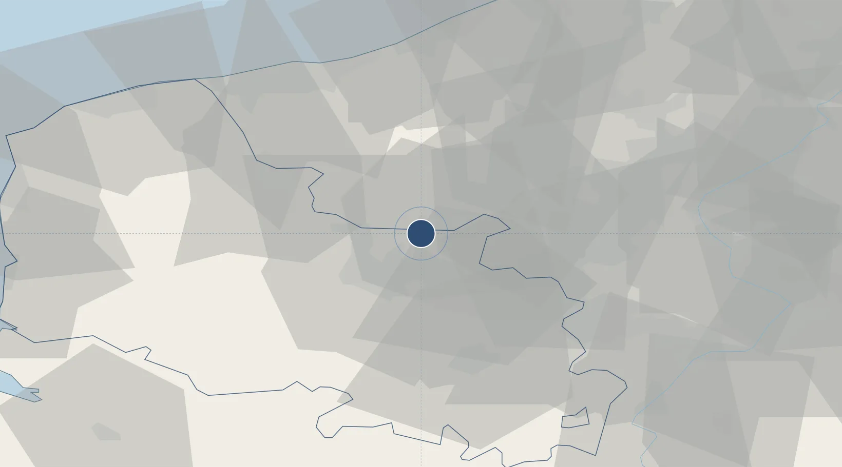
50.6184°, 2.6422°
6,037 ft
Longest runway
1
Runways
61 ft
Elevation

Runway & Layout

Merville-Calonne Airport runway & taxiway layout
Runway & taxiway layout — OpenStreetMap (ODbL) / OurAirports

Radio Frequencies

ATIS
127.9 MHz
TWR
119.075 MHz
MERVILLE TWR
GND
121.675 MHz
MERVILLE GND
APP
120.275 MHz
LILLE APP
OurAirports

Runways · 1

RunwayDimensions SurfaceTrue headingLit
04/22 6,037 × 98ft Asphalt 037°
OurAirports

Airport Specifications

IATA code
HZB
OurAirports
ICAO code
LFQT
OurAirports
Airport class
Medium airport
OurAirports
Scheduled service
No
OurAirports
Runway surface
Asphalt
OurAirports
Served city
Merville, Nord
OurAirports

Location

Location of LFQT
Natural Earth 10m (public domain) · Pas-de-Calais · LFQT · 50.62, 2.64GoogleOSMYandex

Nearby Logistics Neighbours

Airports
  1. 1Lille Airport33 km
  2. 2Flanders International Airport Kortrijk-Wevelgem46 km
  3. 3Koksijde Air Base53 km
  4. 4Calais Marck Airport62 km
  5. 5Valenciennes-Denain Airfield66 km
Nearest neighbours — logibook spatial index (haversine) over the source coordinates
Cities
  1. 1Estaires6 km
  2. 2Richebourg-Saint-Vaast8 km
  3. 3Laventie9 km
  4. 4Sailly-sur-la-Lys10 km
  5. 5Béthune10 km
Nearest neighbours — logibook spatial index (haversine) over the source coordinates
Ports
  1. 1Dunkerque Port Est54 km
  2. 2Gravelines56 km
  3. 3Nieuwpoort58 km
  4. 4Calais68 km
  5. 5Oostende71 km
Nearest neighbours — logibook spatial index (haversine) over the source coordinates
DatabookThe Record of Consolidated Knowledge
France beyond logistics?
Browse databook

All Sources

AirportsOurAirports
Public domain
Portsthe NGA World Port Index
Public domain (US gov)
LocationsUN/LOCODE
UN/LOCODE — free
Trade Zonesthe World Bank SEZ database
CC BY 4.0
Trade ZonesOpen Zone Map
CC BY
InfrastructureOpenStreetMap
ODbL 1.0
← France airports