Economic Revitalization Project · France
ZFU Calais Active
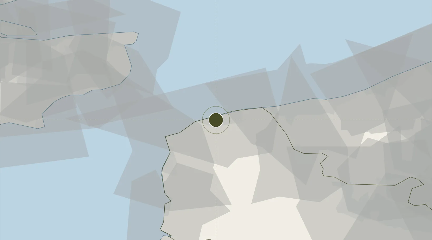
50.9519°, 1.8339°
173 ha
Zone area
2.0 km
Nearest port
8.5 km
Nearest airport
Gateway access
Zone profile
Zone type
Economic Revitalization Project
Region
Pas-de-Calais
Status
Active
Management
Public
Operator
Ville de Calais
Legal framework
Décret no 65-939 du 8 novembre 1965, Décret du 9 Octobre 2008
Location
Nearby Logistics Neighbours
Ports
- 1Calais2 km
- 2Gravelines21 km
- 3Boulogne-Sur-Mer29 km
- 4Dunkerque Port Est38 km
- 5Dover Harbor40 km
Airports
Cities
- 1Calais1 km
- 2Les Fontinettes2 km
- 3Fréthun4 km
- 4Sangatte6 km
- 5Guînes10 km
DatabookThe Record of Consolidated Knowledge
France beyond logistics?