Transport Functions
Rail
Road
Hub Profile
Place type
Urban district
Region
New South Wales
Population
2,377
Time zone
Australia/Sydney
Elevation
25 m
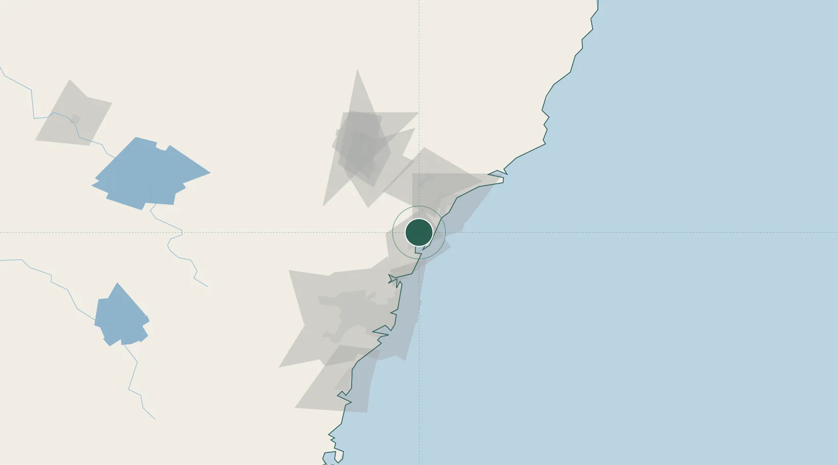
Location
Nearby Logistics Neighbours
Cities
- 1Wyong13 km
- 2Lake Macquarie17 km
- 3Berkeley Vale19 km
- 4Nulkaba21 km
- 5Toronto23 km
Ports
- 1Newcastle41 km
- 2Sydney80 km
- 3Botany Bay94 km
- 4Port Kembla154 km
- 5Jervis Bay224 km
Airports
Trade Zones
DatabookThe Record of Consolidated Knowledge
Australia beyond logistics?