Large airport · Australia

Newcastle AirportYWLM
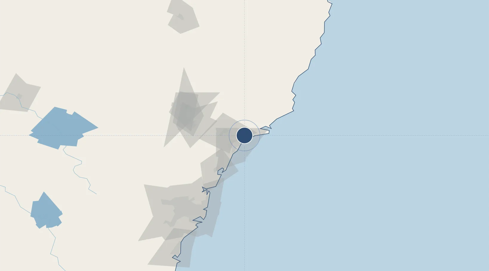
-32.7961°, 151.8350°
10,033 ft
Longest runway
1
Runways
31 ft
Elevation

Runway & Layout

Newcastle Airport runway & taxiway layout
Runway & taxiway layout — OpenStreetMap (ODbL) / OurAirports

Radio Frequencies

ATIS
31.61 MHz
TWR
118.3 MHz
GND
121.8 MHz
CLD
130.35 MHz
CLNC DEL
APP
135.7 MHz
WILLY APP
CTAF
118.3 MHz
FSS
125.7 MHz
BRISBANE CNTR
OurAirports

Navaids

WLM TACAN Williamtown 113.30 MHz
WLM NDB Williamtown 365 kHz
OurAirports

Runways · 1

RunwayDimensions SurfaceTrue headingLit
12/30 10,033 × 148ft Asphalt 130°
OurAirports

Airport Specifications

IATA code
NTL
OurAirports
ICAO code
YWLM
OurAirports
Airport class
Large airport
OurAirports
Scheduled service
Yes
OurAirports
Runway surface
Asphalt
OurAirports
Served city
Williamtown
OurAirports

Location

Location of YWLM
Natural Earth 10m (public domain) · New South Wales · YWLM · -32.80, 151.84GoogleOSMYandex

Nearby Logistics Neighbours

Airports
  1. 1Palm Beach Seaplane Base100 km
  2. 2Taree Airport119 km
  3. 3RAAF Base Richmond133 km
  4. 4Sydney Kingsford Smith International Airport142 km
  5. 5Sydney Bankstown Airport148 km
Nearest neighbours — logibook spatial index (haversine) over the source coordinates
Cities
  1. 1Heatherbrae10 km
  2. 2Newcastle12 km
  3. 3Sandgate15 km
  4. 4Warabrook16 km
  5. 5Hamilton16 km
Nearest neighbours — logibook spatial index (haversine) over the source coordinates
Ports
  1. 1Newcastle14 km
  2. 2Sydney133 km
  3. 3Botany Bay145 km
  4. 4Port Kembla206 km
  5. 5Jervis Bay275 km
Nearest neighbours — logibook spatial index (haversine) over the source coordinates
Trade Zones
  1. 1Latrobe Valley Economic Growth Zone780 km
  2. 2Hicks Bay Area Special Economic Zone2440 km
  3. 3Vanuatu Economic Development Zone2467 km
  4. 4Paga Hill Estate Special Economic Zone2637 km
  5. 5Tulagi Island Special Economic Zone2769 km
Nearest neighbours — logibook spatial index (haversine) over the source coordinates
DatabookThe Record of Consolidated Knowledge
Australia beyond logistics?
Browse databook

All Sources

AirportsOurAirports
Public domain
Portsthe NGA World Port Index
Public domain (US gov)
LocationsUN/LOCODE
UN/LOCODE — free
Trade Zonesthe World Bank SEZ database
CC BY 4.0
Trade ZonesOpen Zone Map
CC BY
InfrastructureOpenStreetMap
ODbL 1.0
← Australia airports