Transport Functions
Port
Road
Hub Profile
Region
NSW
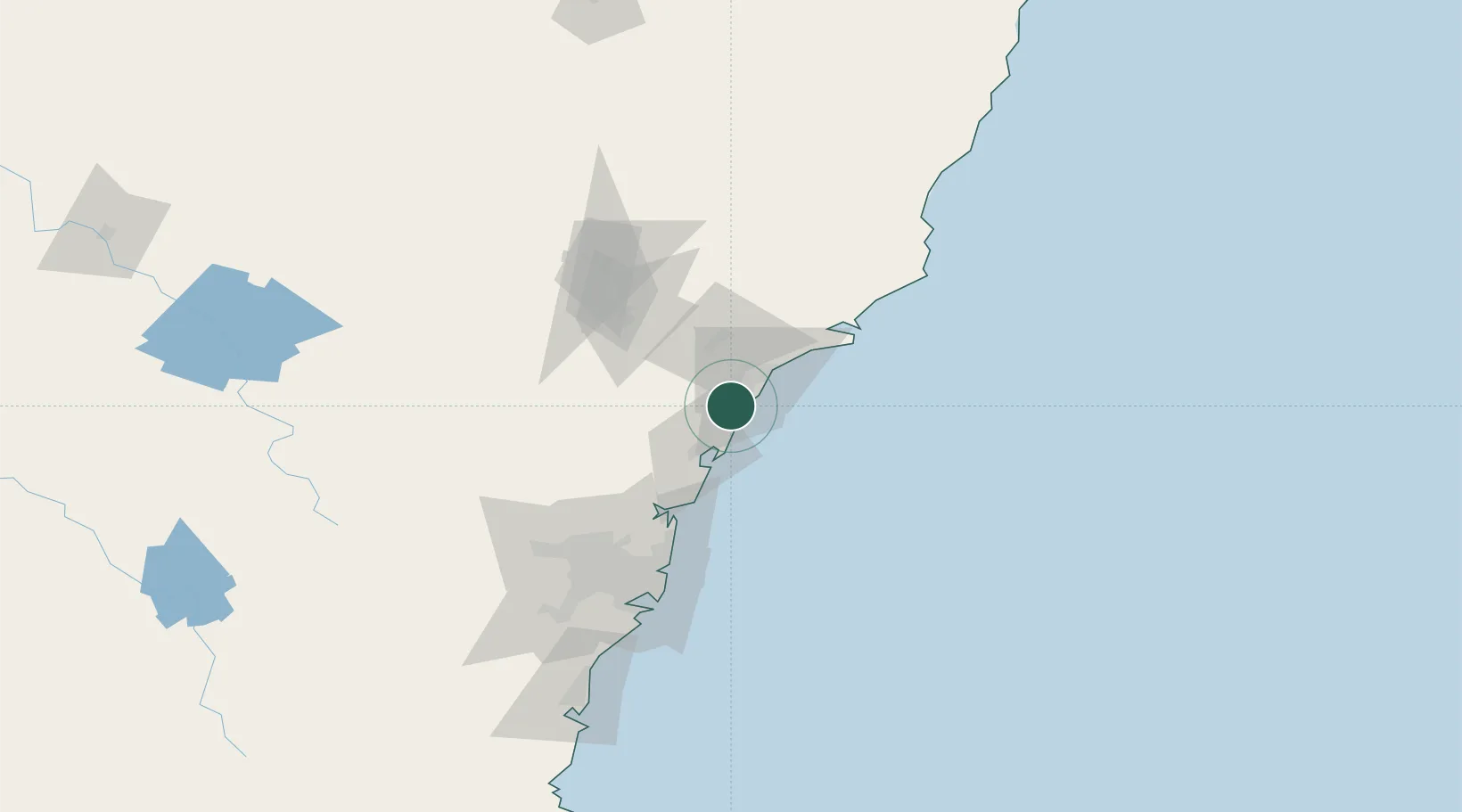
Location
Nearby Logistics Neighbours
Cities
- 1Toronto7 km
- 2Warners Bay12 km
- 3Kotara15 km
- 4Wyee17 km
- 5New Lambton19 km
Ports
- 1Newcastle24 km
- 2Sydney96 km
- 3Botany Bay109 km
- 4Port Kembla170 km
- 5Jervis Bay240 km
Airports
- 1Newcastle Airport37 km
- 2Palm Beach Seaplane Base63 km
- 3RAAF Base Richmond97 km
- 4Sydney Kingsford Smith International Airport105 km
- 5Sydney Bankstown Airport111 km
Trade Zones
DatabookThe Record of Consolidated Knowledge
Australia beyond logistics?