Medium airport · Australia

RAAF Base RichmondYSRI
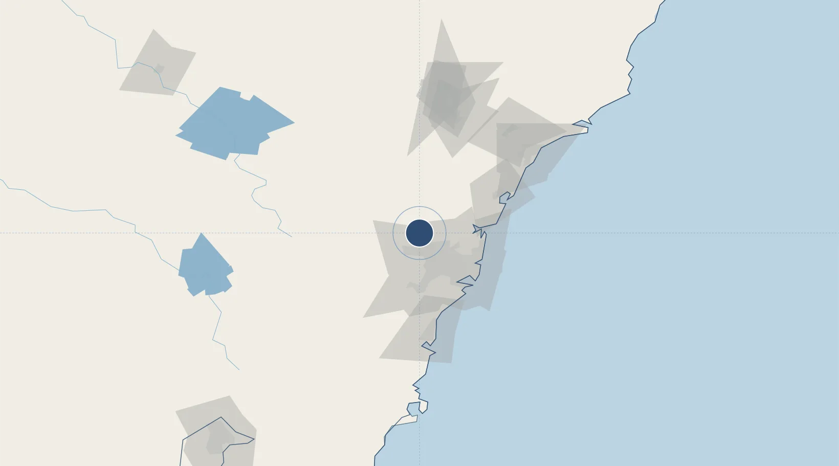
-33.6047°, 150.7831°
7,001 ft
Longest runway
1
Runways
67 ft
Elevation

Runway & Layout

RAAF Base Richmond runway & taxiway layout
Runway & taxiway layout — OpenStreetMap (ODbL) / OurAirports

Radio Frequencies

ATIS
34.7 MHz
TWR
135.5 MHz
APP
135.9 MHz
SYDNEY APP
CTAF
135.5 MHz
ACP
26.17 MHz
RICCOM COMD POST
FSS
124.55 MHz
SYDNEY RADAR
GCA
34.94 MHz
AMC OPS
SFA
897.4 MHz
AOCS HF NET
SMC
128.25 MHz
SMCV
121.65 MHz
OurAirports

Navaids

RIC TACAN Richmond 110.70 MHz
RIC NDB Richmond 347 kHz
OurAirports

Runways · 1

RunwayDimensions SurfaceTrue headingLit
10/28 7,001 × 148ft Asphalt 107°
OurAirports

Airport Specifications

IATA code
XRH
OurAirports
ICAO code
YSRI
OurAirports
Airport class
Medium airport
OurAirports
Scheduled service
No
OurAirports
Runway surface
Asphalt
OurAirports
Served city
Richmond
OurAirports

Location

Location of YSRI
Natural Earth 10m (public domain) · New South Wales · YSRI · -33.60, 150.78GoogleOSMYandex

Nearby Logistics Neighbours

Airports
  1. 1Sydney Bankstown Airport40 km
  2. 2Camden Airport49 km
  3. 3Palm Beach Seaplane Base50 km
  4. 4Sydney Kingsford Smith International Airport53 km
  5. 5Shellharbour Airport106 km
Nearest neighbours — logibook spatial index (haversine) over the source coordinates
Cities
  1. 1South Windsor2 km
  2. 2Windsor3 km
  3. 3Castlereagh12 km
  4. 4Glendenning16 km
  5. 5Kings Park18 km
Nearest neighbours — logibook spatial index (haversine) over the source coordinates
Ports
  1. 1Sydney48 km
  2. 2Botany Bay61 km
  3. 3Port Kembla99 km
  4. 4Newcastle120 km
  5. 5Jervis Bay168 km
Nearest neighbours — logibook spatial index (haversine) over the source coordinates
Trade Zones
  1. 1Latrobe Valley Economic Growth Zone649 km
  2. 2Hicks Bay Area Special Economic Zone2503 km
  3. 3Vanuatu Economic Development Zone2599 km
  4. 4Paga Hill Estate Special Economic Zone2708 km
  5. 5Tulagi Island Special Economic Zone2888 km
Nearest neighbours — logibook spatial index (haversine) over the source coordinates
DatabookThe Record of Consolidated Knowledge
Australia beyond logistics?
Browse databook

All Sources

AirportsOurAirports
Public domain
Portsthe NGA World Port Index
Public domain (US gov)
LocationsUN/LOCODE
UN/LOCODE — free
Trade Zonesthe World Bank SEZ database
CC BY 4.0
Trade ZonesOpen Zone Map
CC BY
InfrastructureOpenStreetMap
ODbL 1.0
← Australia airports