Runway & Layout

Airport Specifications
IATA code
LBH
Airport class
Seaplane base
Scheduled service
Yes
Served city
Sydney
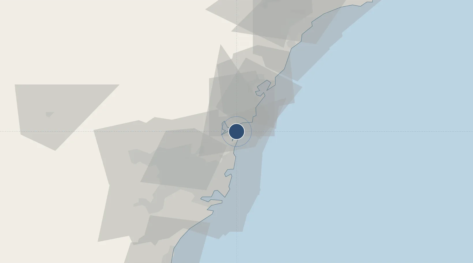
Location
Nearby Logistics Neighbours
Airports
- 1Sydney Kingsford Smith International Airport42 km
- 2Sydney Bankstown Airport48 km
- 3RAAF Base Richmond50 km
- 4Camden Airport77 km
- 5Newcastle Airport100 km
Cities
- 1Mona Vale9 km
- 2Brookvale/Sidney19 km
- 3Mount Kuring-Gai19 km
- 4Belrose19 km
- 5Freshwater20 km
Ports
- 1Sydney33 km
- 2Botany Bay47 km
- 3Newcastle86 km
- 4Port Kembla107 km
- 5Jervis Bay177 km
Trade Zones
DatabookThe Record of Consolidated Knowledge
Australia beyond logistics?