Transport Functions
Rail
Road
Hub Profile
Place type
Urban district
Region
New South Wales
Population
4,309
Time zone
Australia/Sydney
Elevation
16 m
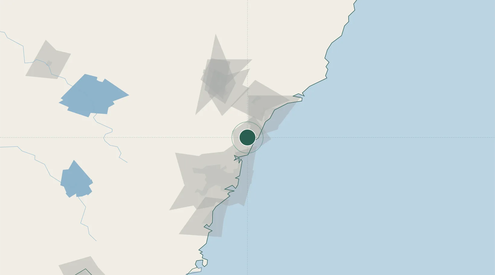
Location
Nearby Logistics Neighbours
Cities
- 1Berkeley Vale8 km
- 2Lisarow12 km
- 3Wyee13 km
- 4Nulkaba17 km
- 5Lake Macquarie30 km
Ports
- 1Newcastle53 km
- 2Sydney68 km
- 3Botany Bay82 km
- 4Port Kembla141 km
- 5Jervis Bay212 km
Airports
Trade Zones
DatabookThe Record of Consolidated Knowledge
Australia beyond logistics?