Transport Functions
Port
Multimodal
Hub Profile
Place type
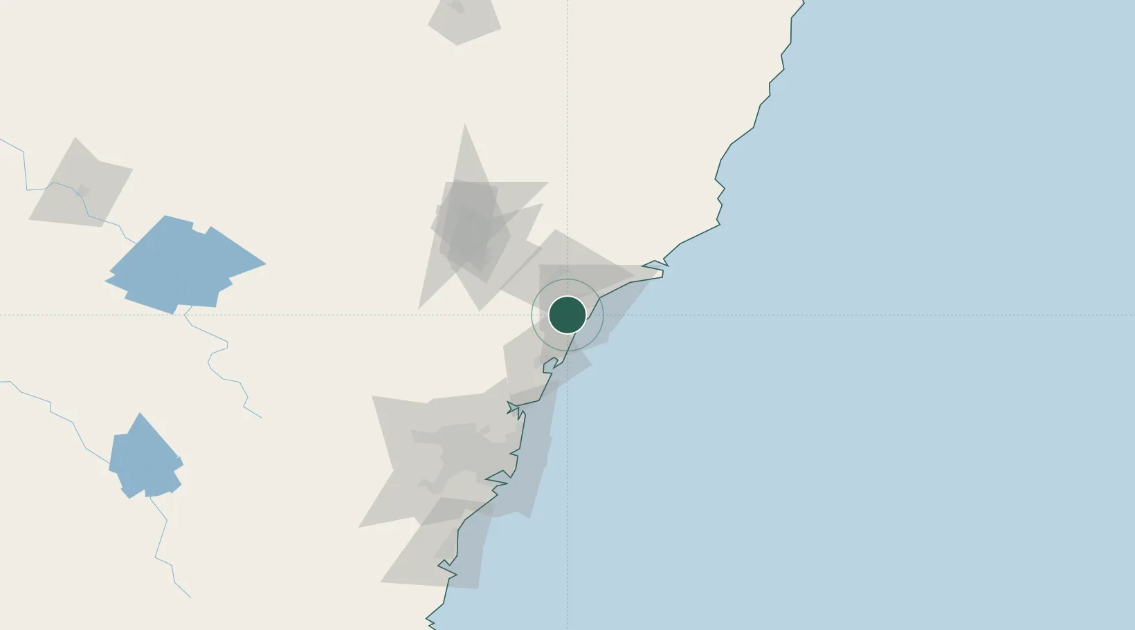
Populated place
Region
New South Wales
Time zone
Australia/Sydney
Location
Nearby Logistics Neighbours
Cities
- 1Warners Bay6 km
- 2Lake Macquarie7 km
- 3Kotara10 km
- 4New Lambton13 km
- 5Hamilton16 km
Ports
- 1Newcastle20 km
- 2Sydney103 km
- 3Botany Bay116 km
- 4Port Kembla177 km
- 5Jervis Bay247 km
Airports
- 1Newcastle Airport32 km
- 2Palm Beach Seaplane Base70 km
- 3RAAF Base Richmond101 km
- 4Sydney Kingsford Smith International Airport112 km
- 5Sydney Bankstown Airport117 km
Trade Zones
DatabookThe Record of Consolidated Knowledge
Australia beyond logistics?