UN/LOCODE hub · Australia
AUBKE
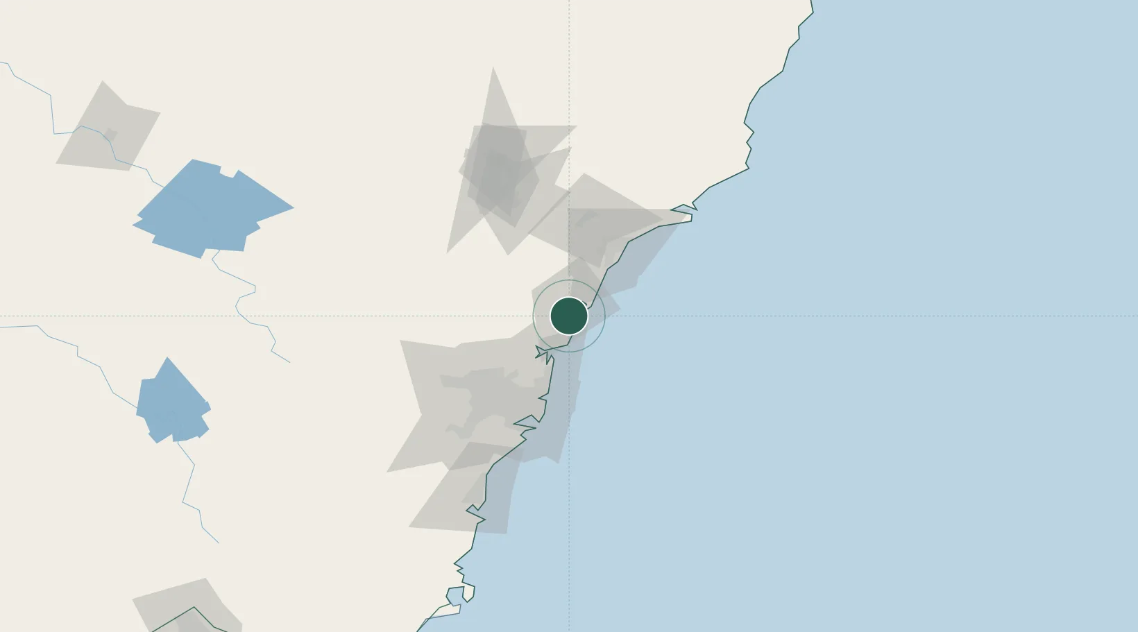
Berkeley Vale
-33.3500°, 151.4333°
8,198
Population
2
Transport functions
Transport Functions
Port
Multimodal
Hub Profile
Place type
Urban district
Region
New South Wales
Population
8,198
Time zone
Australia/Sydney
Elevation
39 m
Location
Nearby Logistics Neighbours
Cities
- 1Lisarow7 km
- 2Wyong8 km
- 3Nulkaba14 km
- 4Wyee19 km
- 5Lake Macquarie35 km
Ports
- 1Newcastle58 km
- 2Sydney61 km
- 3Botany Bay75 km
- 4Port Kembla135 km
- 5Jervis Bay205 km
Airports
Trade Zones
DatabookThe Record of Consolidated Knowledge
Australia beyond logistics?