Transport Functions
Multimodal
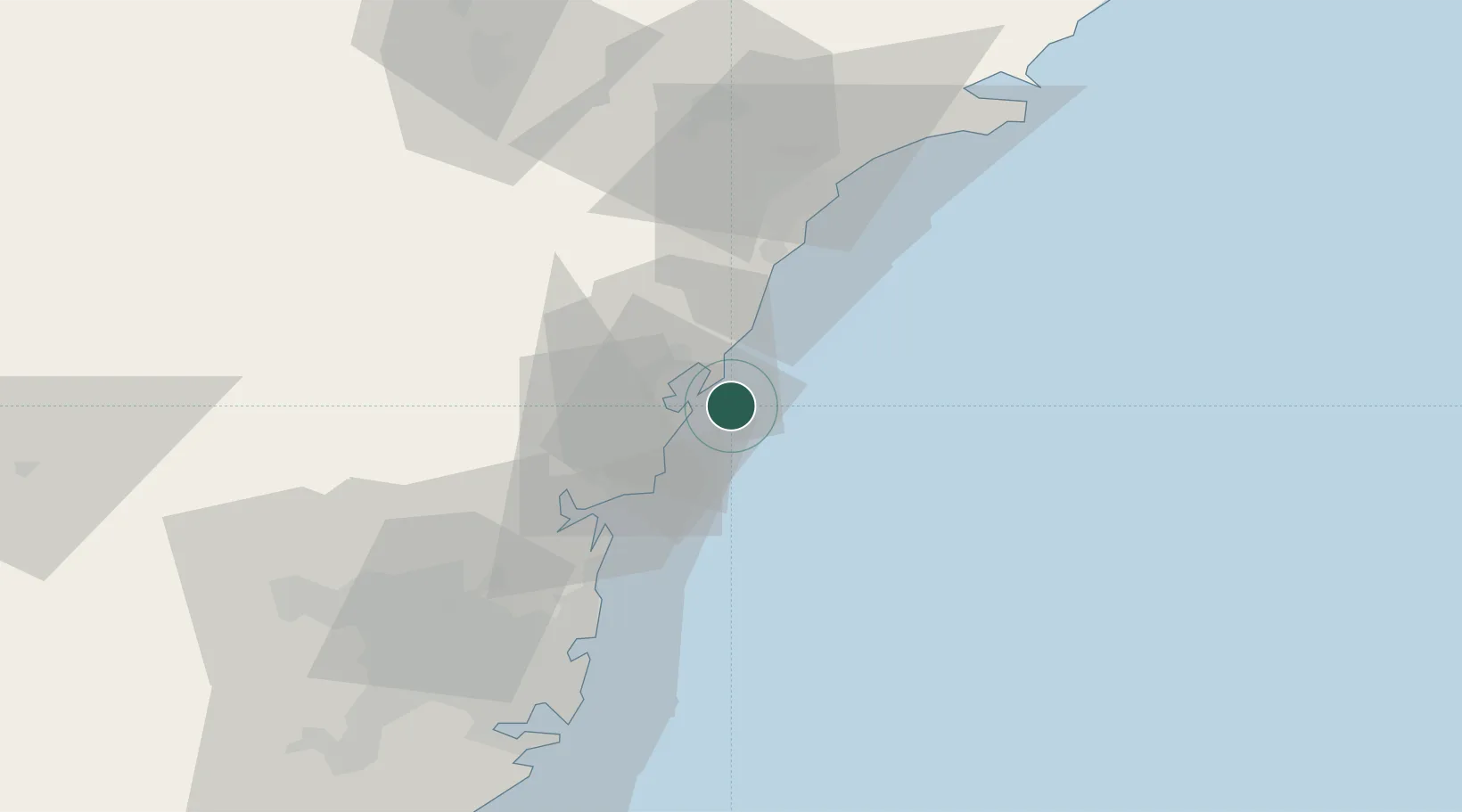
Hub Profile
Place type
Populated place
Region
New South Wales
Population
714
Time zone
Australia/Sydney
Elevation
73 m
Location
Nearby Logistics Neighbours
Cities
- 1Berkeley Vale14 km
- 2Wyong17 km
- 3Lisarow21 km
- 4Wyee21 km
- 5Lake Macquarie32 km
Ports
- 1Newcastle52 km
- 2Sydney68 km
- 3Botany Bay79 km
- 4Port Kembla140 km
- 5Jervis Bay209 km
Airports
Trade Zones
DatabookThe Record of Consolidated Knowledge
Australia beyond logistics?