Transport Functions
Port
Hub Profile
Place type
Populated place
Region
New South Wales
Population
5,329
Time zone
Australia/Sydney
Elevation
17 m
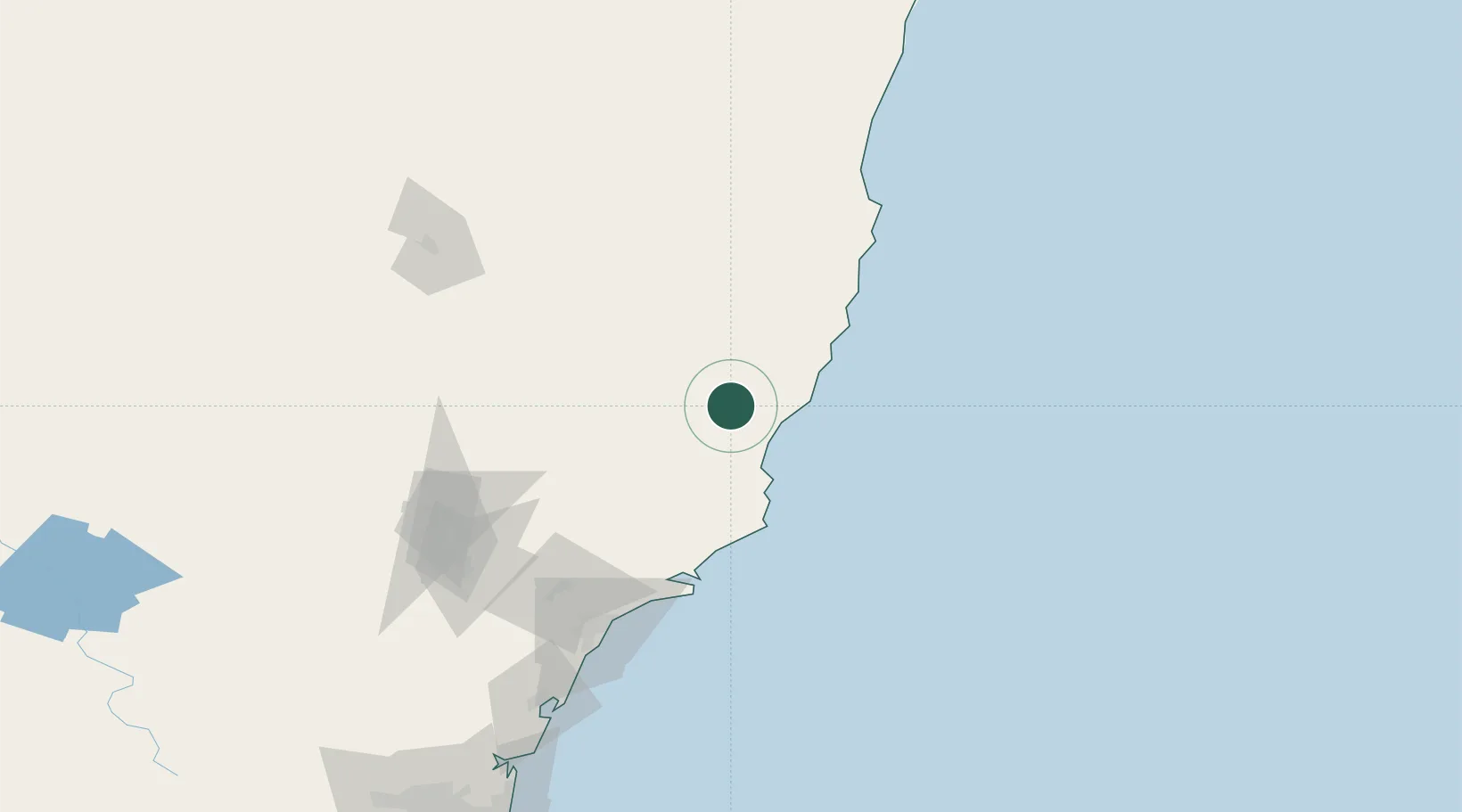
Location
Nearby Logistics Neighbours
Cities
- 1Bobin18 km
- 2Gloucester41 km
- 3Coomba Park42 km
- 4Kendall46 km
- 5Laurieton48 km
Ports
- 1Newcastle129 km
- 2Sydney248 km
- 3Botany Bay260 km
- 4Port Kembla321 km
- 5Ballina353 km
Airports
- 1Taree Airport14 km
- 2Port Macquarie Airport67 km
- 3Kempsey Airport96 km
- 4Newcastle Airport115 km
- 5Armidale Airport165 km
Trade Zones
DatabookThe Record of Consolidated Knowledge
Australia beyond logistics?