Transport Functions
Rail
Road
Hub Profile
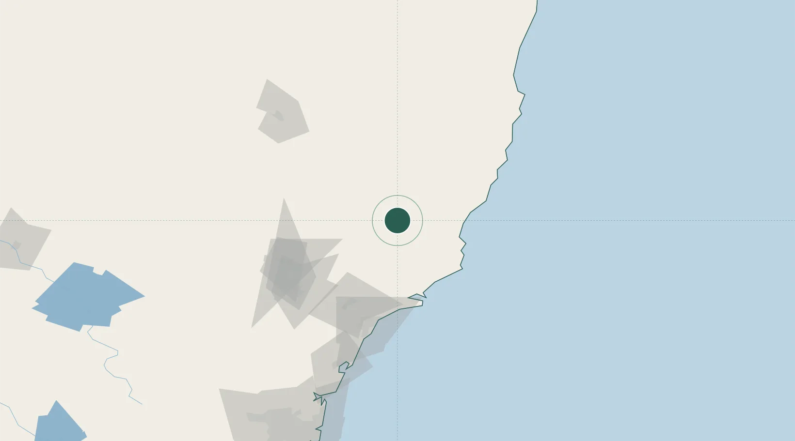
Place type
Populated place
Region
New South Wales
Population
2,891
Time zone
Australia/Sydney
Elevation
111 m
Location
Nearby Logistics Neighbours
Cities
- 1Wingham41 km
- 2Bobin45 km
- 3Dungog49 km
- 4Coomba Park53 km
- 5Tea Gardens74 km
Ports
- 1Newcastle102 km
- 2Sydney218 km
- 3Botany Bay231 km
- 4Port Kembla291 km
- 5Jervis Bay361 km
Airports
- 1Taree Airport54 km
- 2Newcastle Airport88 km
- 3Port Macquarie Airport107 km
- 4Kempsey Airport129 km
- 5Tamworth Airport149 km
Trade Zones
DatabookThe Record of Consolidated Knowledge
Australia beyond logistics?